Lannan Gallery
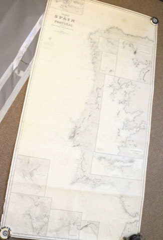
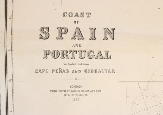
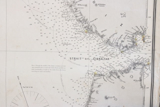
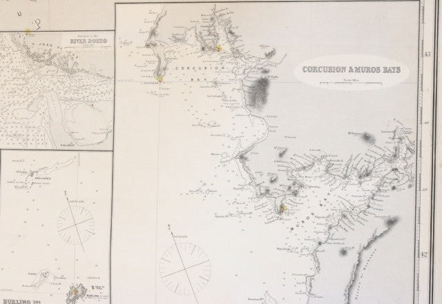
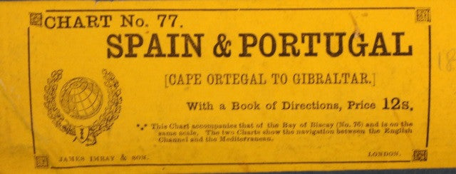
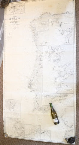
Original Imray & Son Spain & Portugal Chart, 1883
Original Imray & Son Spain & Portugal Chart, 1883
Regular price
$ 2,000.00 USD
Regular price
Sale price
$ 2,000.00 USD
Unit price
per
Couldn't load pickup availability
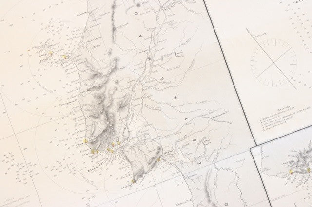
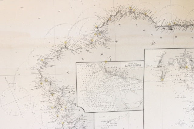
Original Imray & Son chart of Spain and Portugal, from Cape Penas to Gibralter, circa 1883. Showing Atlantic coast of Spain and Portugal, including geographic details of cities and mountain ranges. Details include, Arosa, Ponteverdra and Vigo Bays, entrance to River Tagus, Corcubion and Muros Bays, entrance to River Douro, Burling Islands, Setuval, River Guadalquiver, Cadiz, and River Odiel & Tinto. Chart also shows tip of Morocco. Major cities include Lisbon, C. San Vicente, San Lucar, Gibralter, Ponte Verde, Bayona, Cape Penas, San Sebastian, and Sevilla. Unframed and mounted to blue paper.
Overall Dimensions: 77" H x 42" L
Overall Dimensions: 77" H x 42" L