


Lannan Gallery
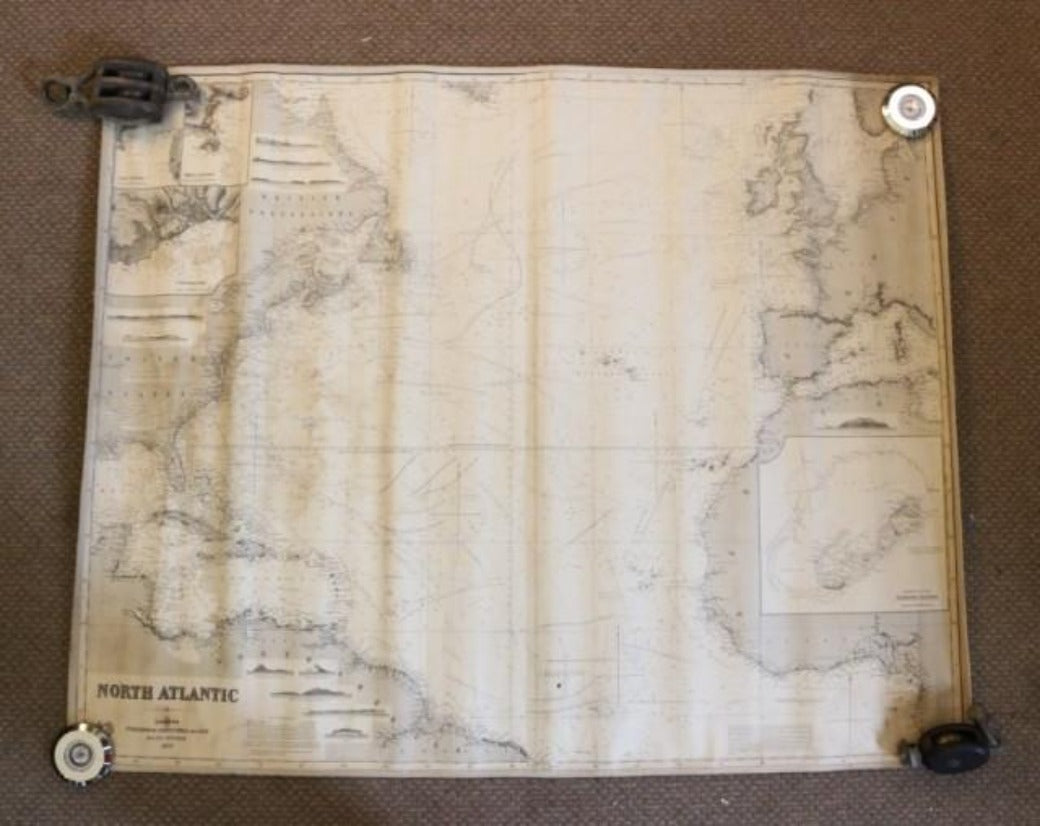
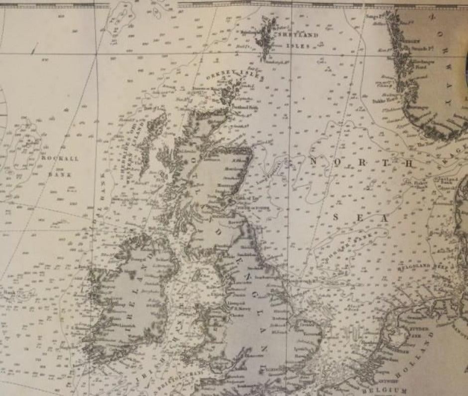
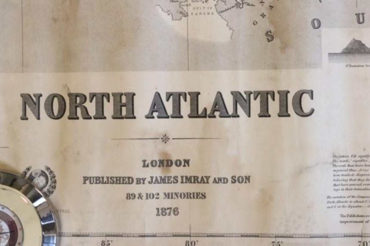
Original Imray & Son Chart of North Atlantic, 1876
Original Imray & Son Chart of North Atlantic, 1876
Regular price
$ 2,495.00 USD
Regular price
Sale price
$ 2,495.00 USD
Unit price
per
Couldn't load pickup availability
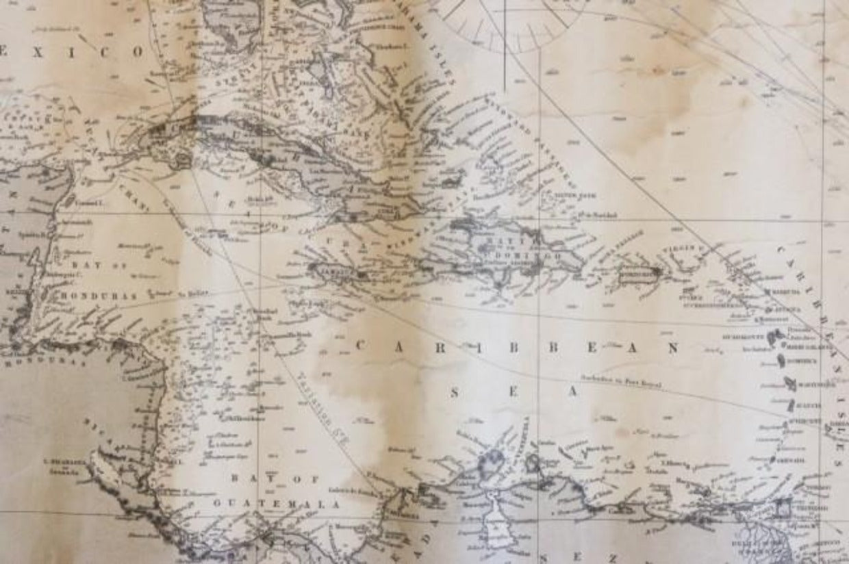
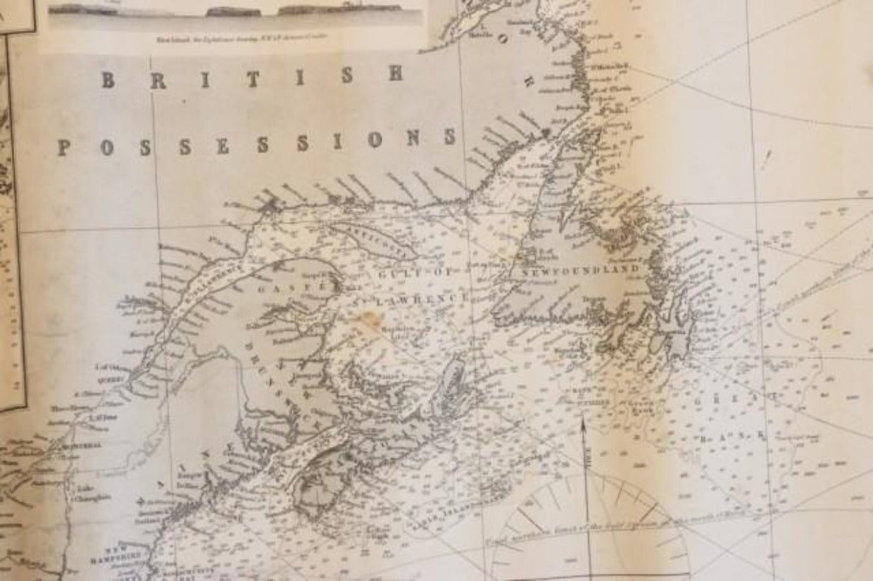
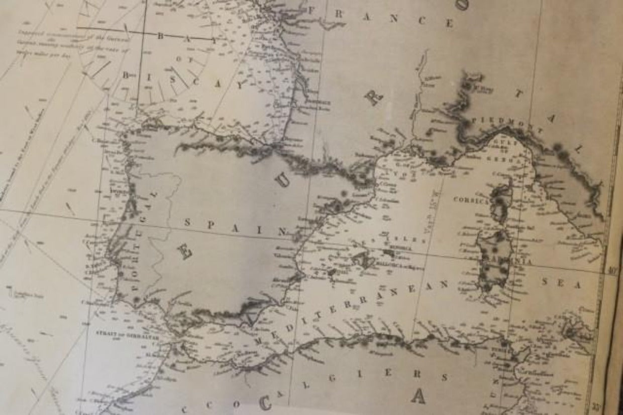
Nautical chart of the North Atlantic showing the Eastern United States coast, Caribbean Islands, South America (Venezuela and ), British Possessions (Canada - Gulf of Lawrence, Newfoundland, Nova Scotia), Europe (England, Ireland, Norway, Denmark, France and Spain), African coast (including Morocco and Cape Verde Islands), and a sketch of Bermuda. Discoloring and staining to map and blue paper. Unframed and mounted to blue paper. Overall Dimensions: 45" H x 55" W