
Lannan Gallery
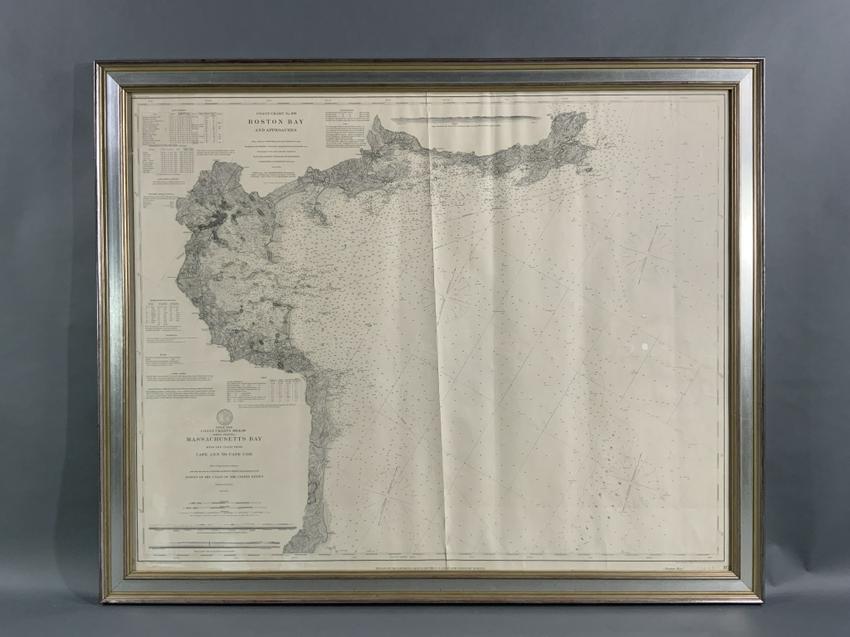
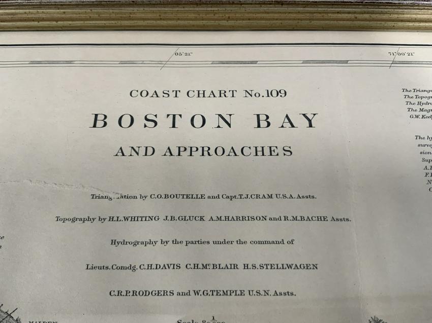
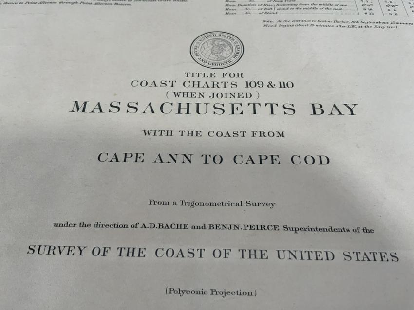
1898 Chart Of Boston Bay
1898 Chart Of Boston Bay
Regular price
$ 1,495.00 USD
Regular price
Sale price
$ 1,495.00 USD
Unit price
per
Couldn't load pickup availability
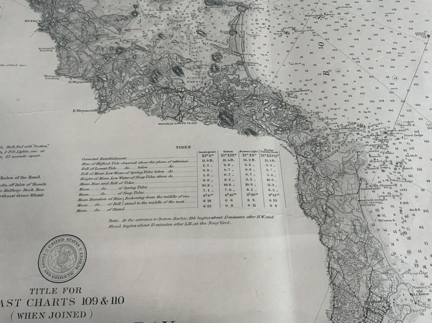
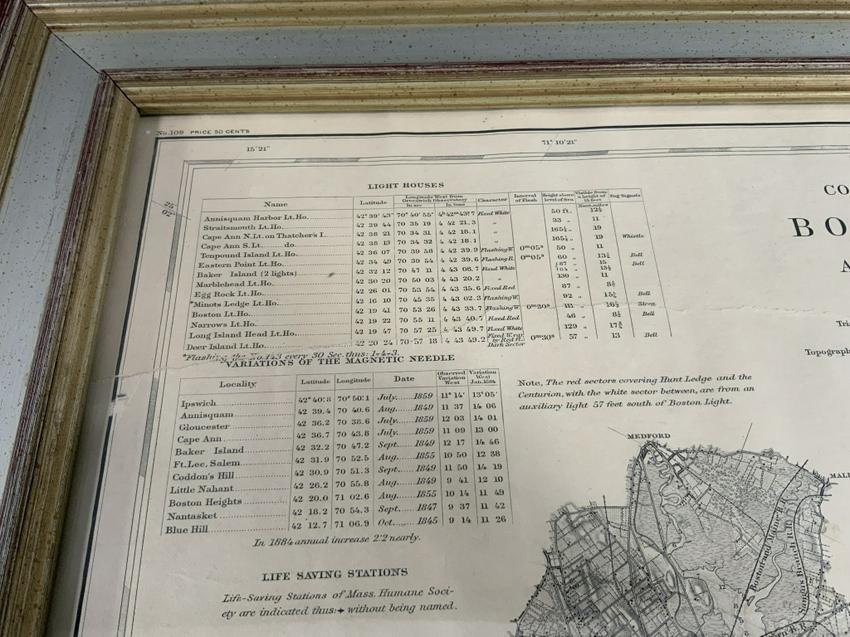
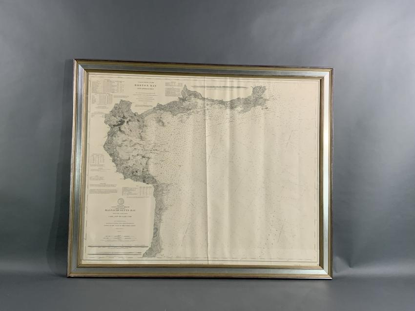
Original 1898 chart showing Massachusetts Bay with the coast from Cape Ann to Cape Cod. This is a U.S. Navy Geodetic survey chart. All towns are noted along the coast. Framed with glass.
Overall Dimensions: Weight is 17 pounds. 36" H x 44"W.