

Lannan Gallery
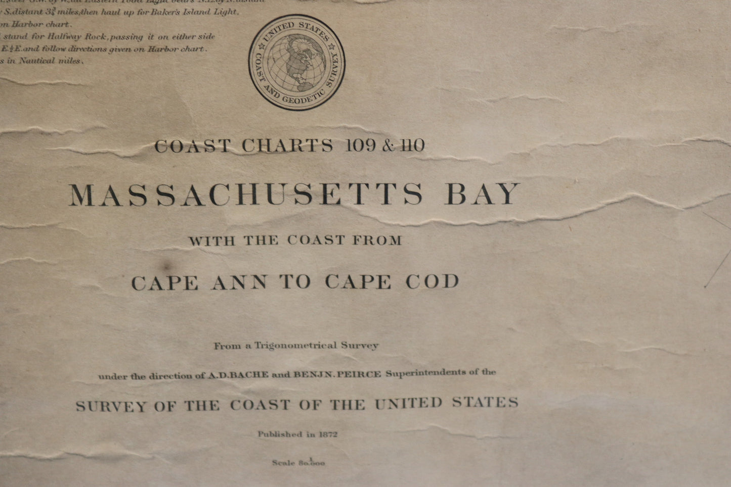
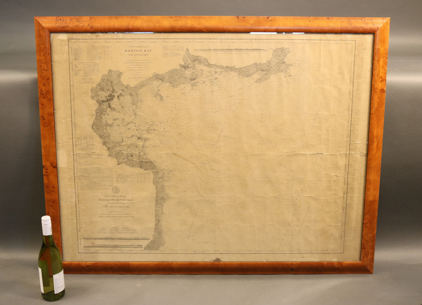
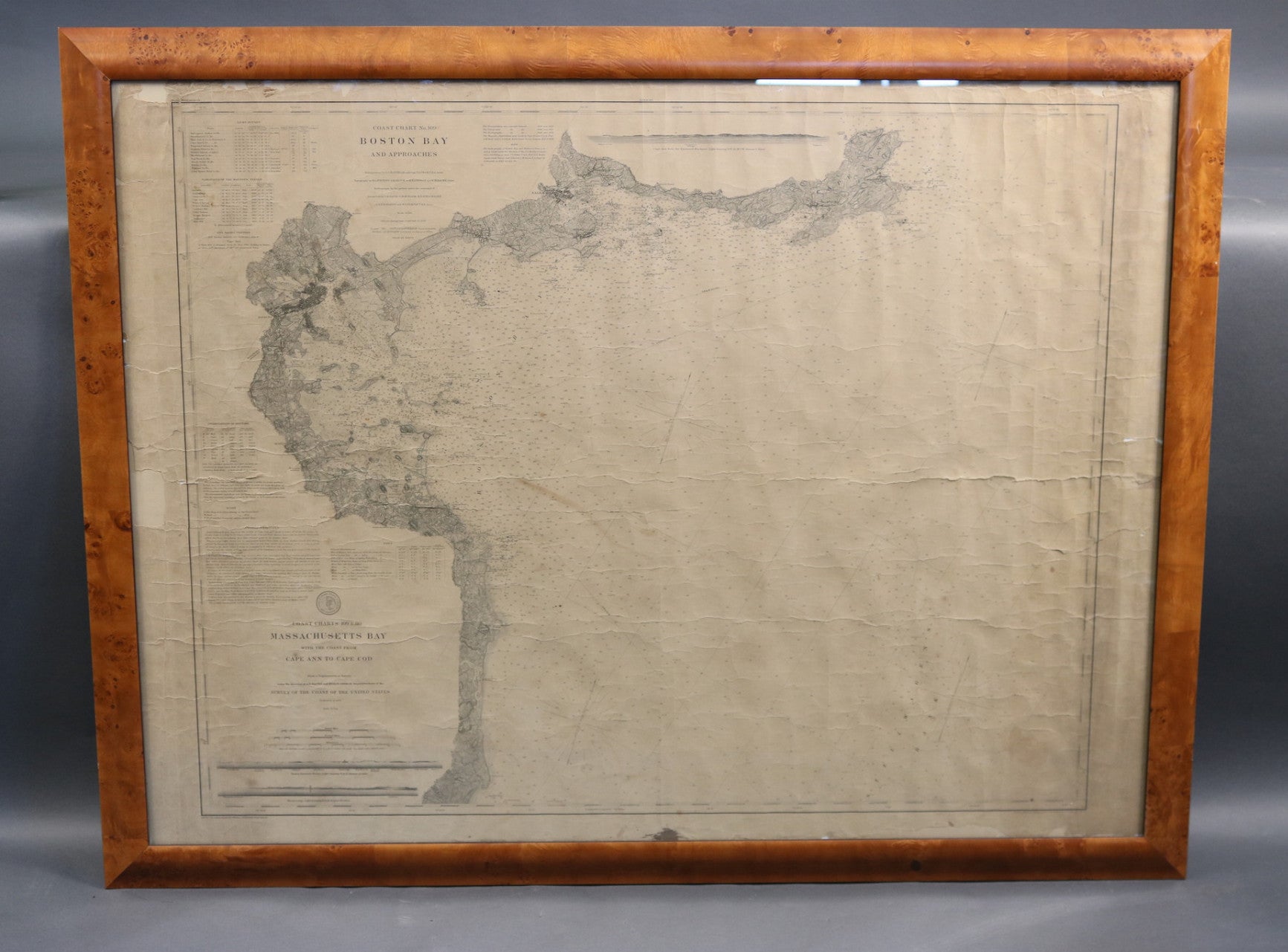
Original Boston Bay and Massachusetts Bay Chart
Original Boston Bay and Massachusetts Bay Chart
Regular price
$ 1,100.00 USD
Regular price
Sale price
$ 1,100.00 USD
Unit price
per
Couldn't load pickup availability
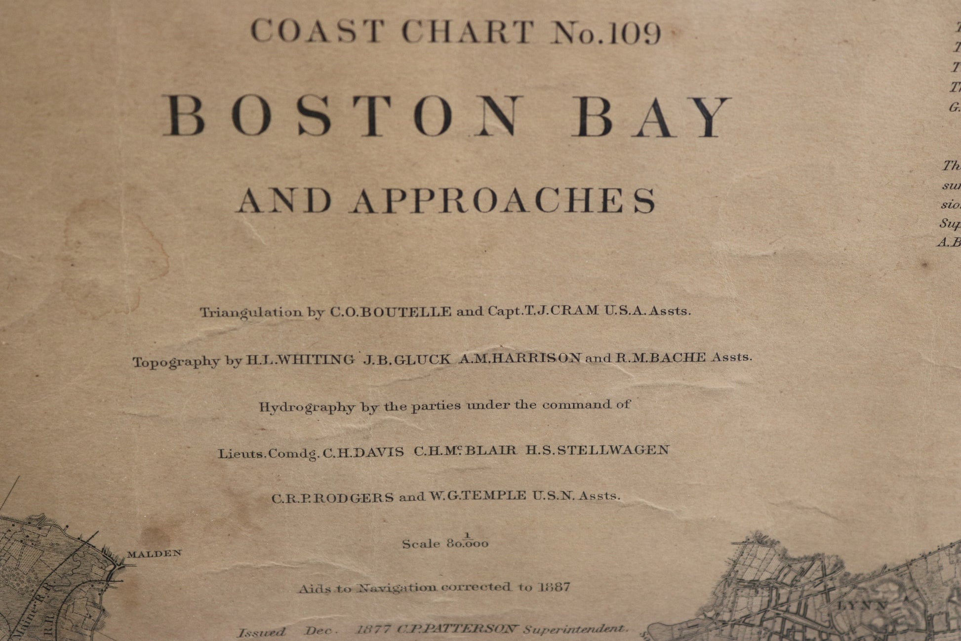
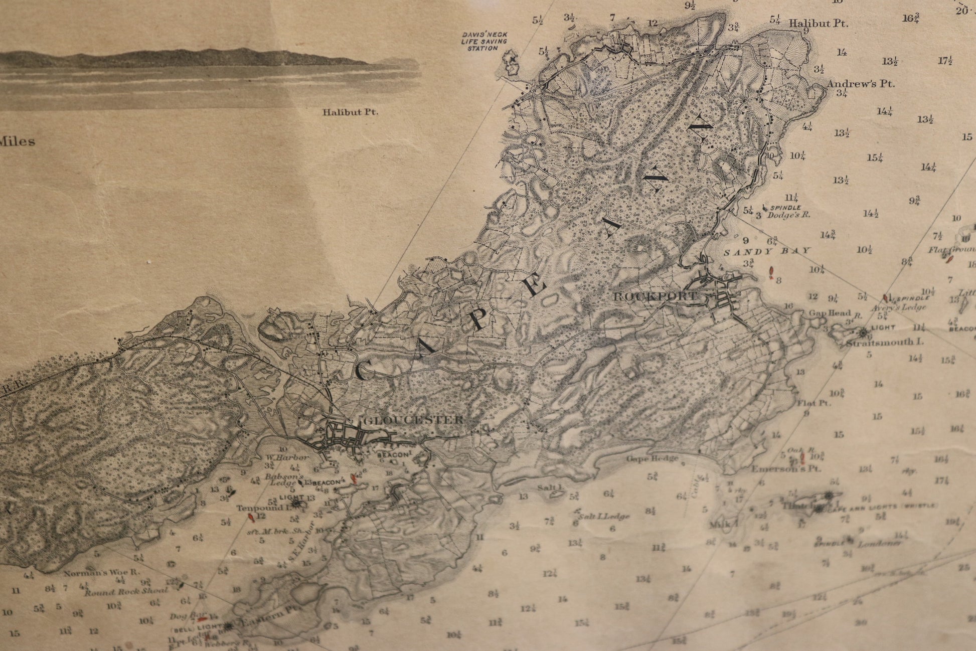
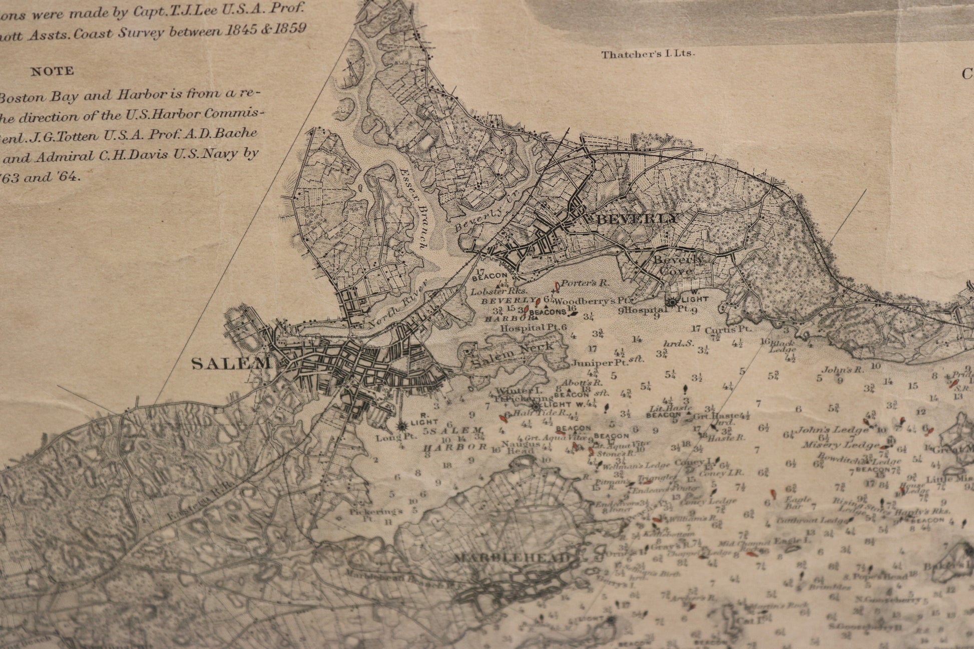
Coast Survey Chart 109 and 110, showing the shoreline from Cape Cod to Cape Ann in Gloucester with fathom measurements out to Stelwagens bank. The Harbor Islands are shown as are lighthouses, buoys, and etc. Coastal towns are noted as are the tributaries, marshes, and etc. Chart is by the U.S. Coastal Survey and is dated 1887.
Overall Dimensions: 48" L x 37" H
Weight: 17lbs
Overall Dimensions: 48" L x 37" H
Weight: 17lbs