

Lannan Gallery
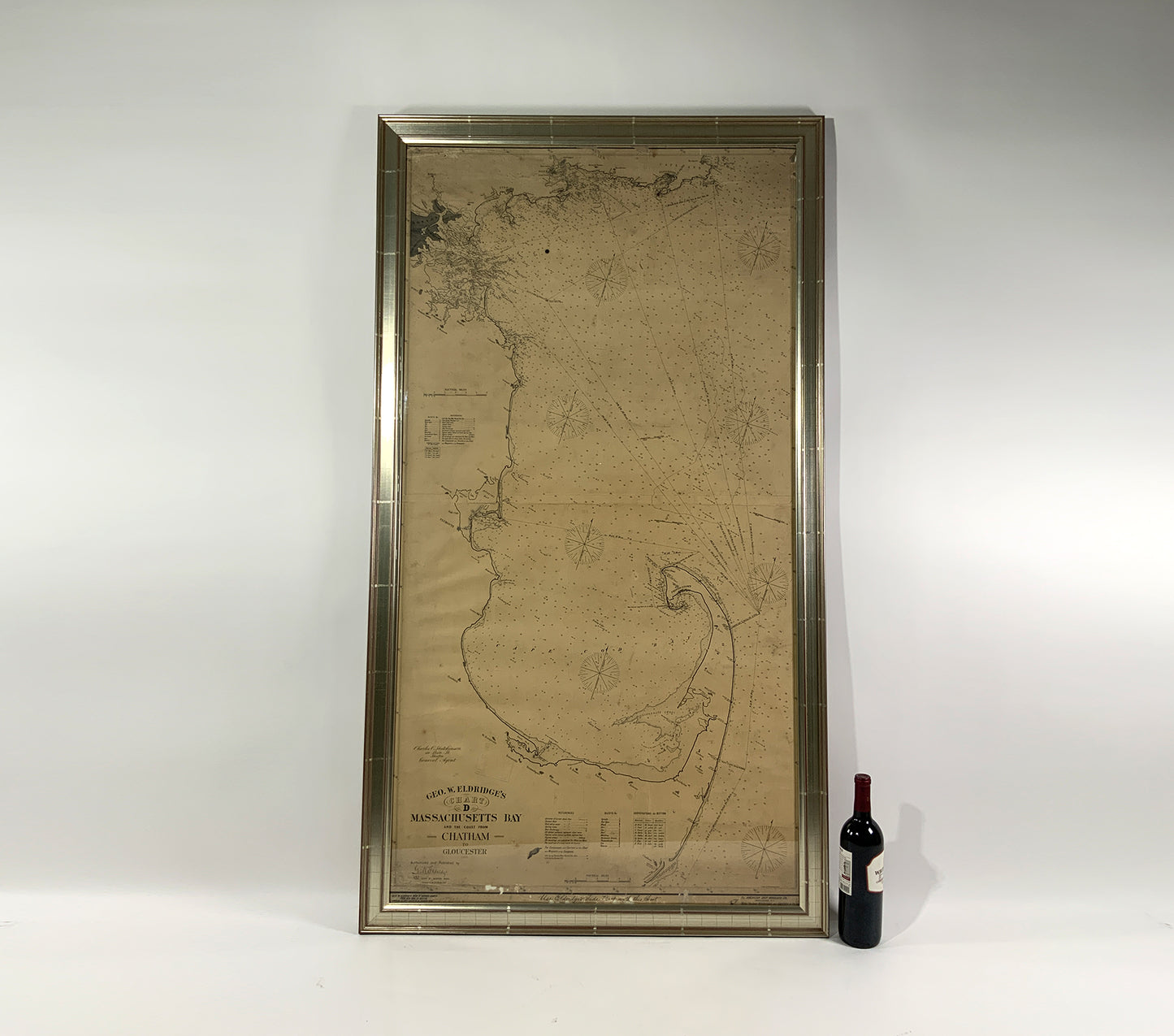
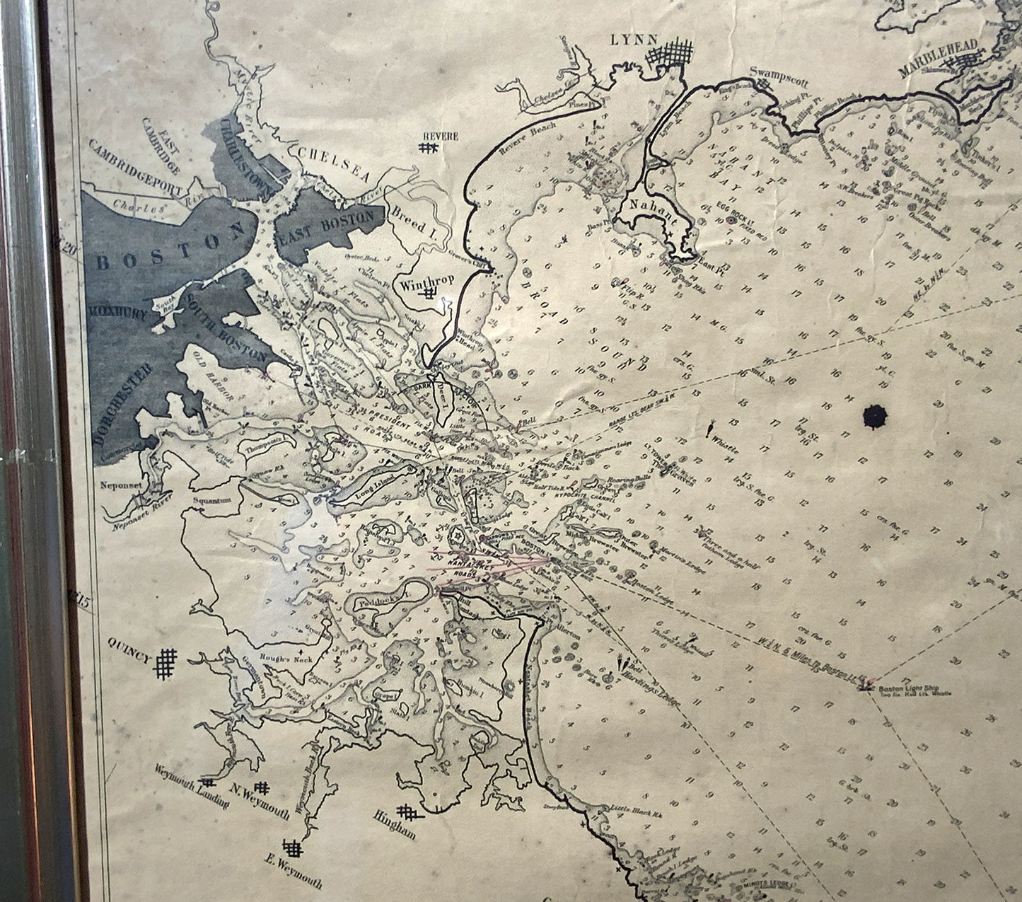
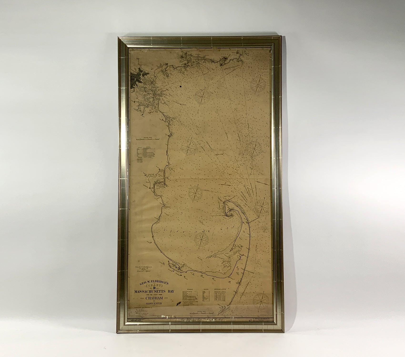
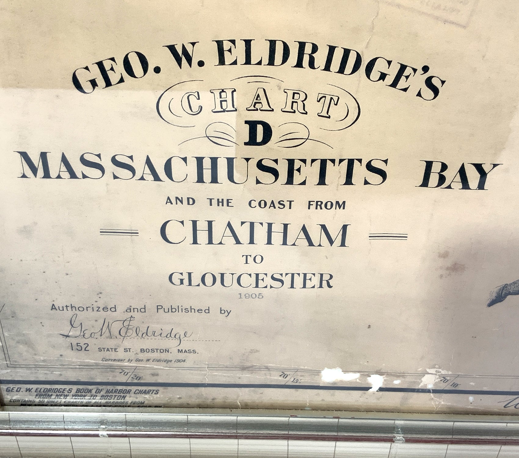
Ocean Chart Of Massachusetts Bay
Ocean Chart Of Massachusetts Bay
Regular price
$ 2,195.00 USD
Regular price
Sale price
$ 2,195.00 USD
Unit price
per
Couldn't load pickup availability
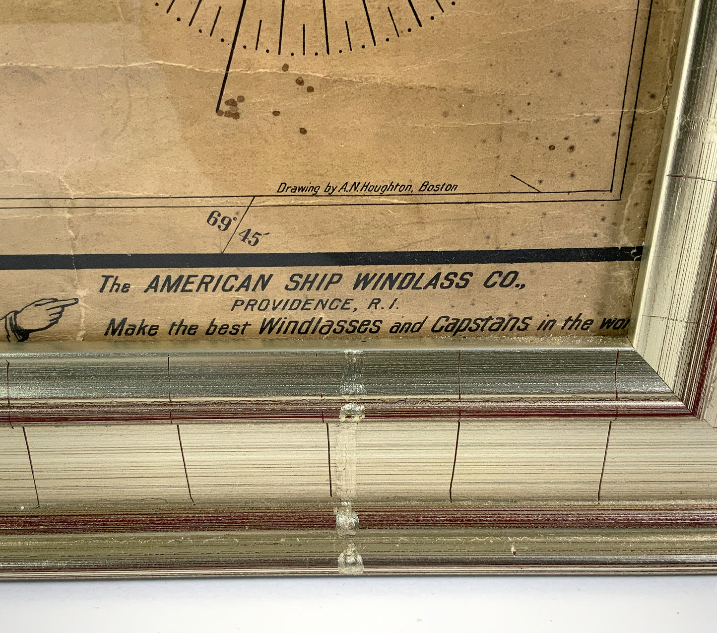
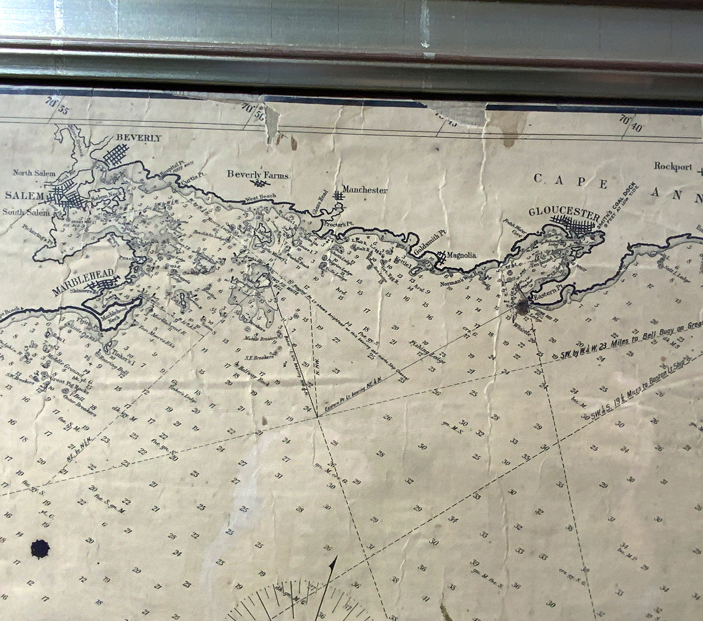
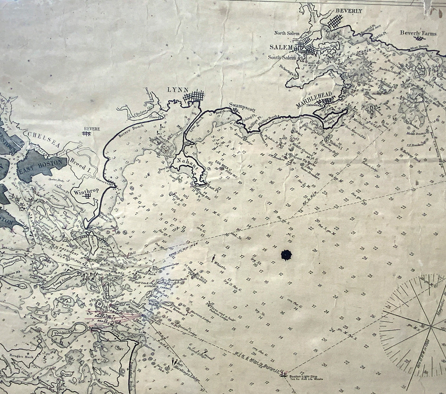
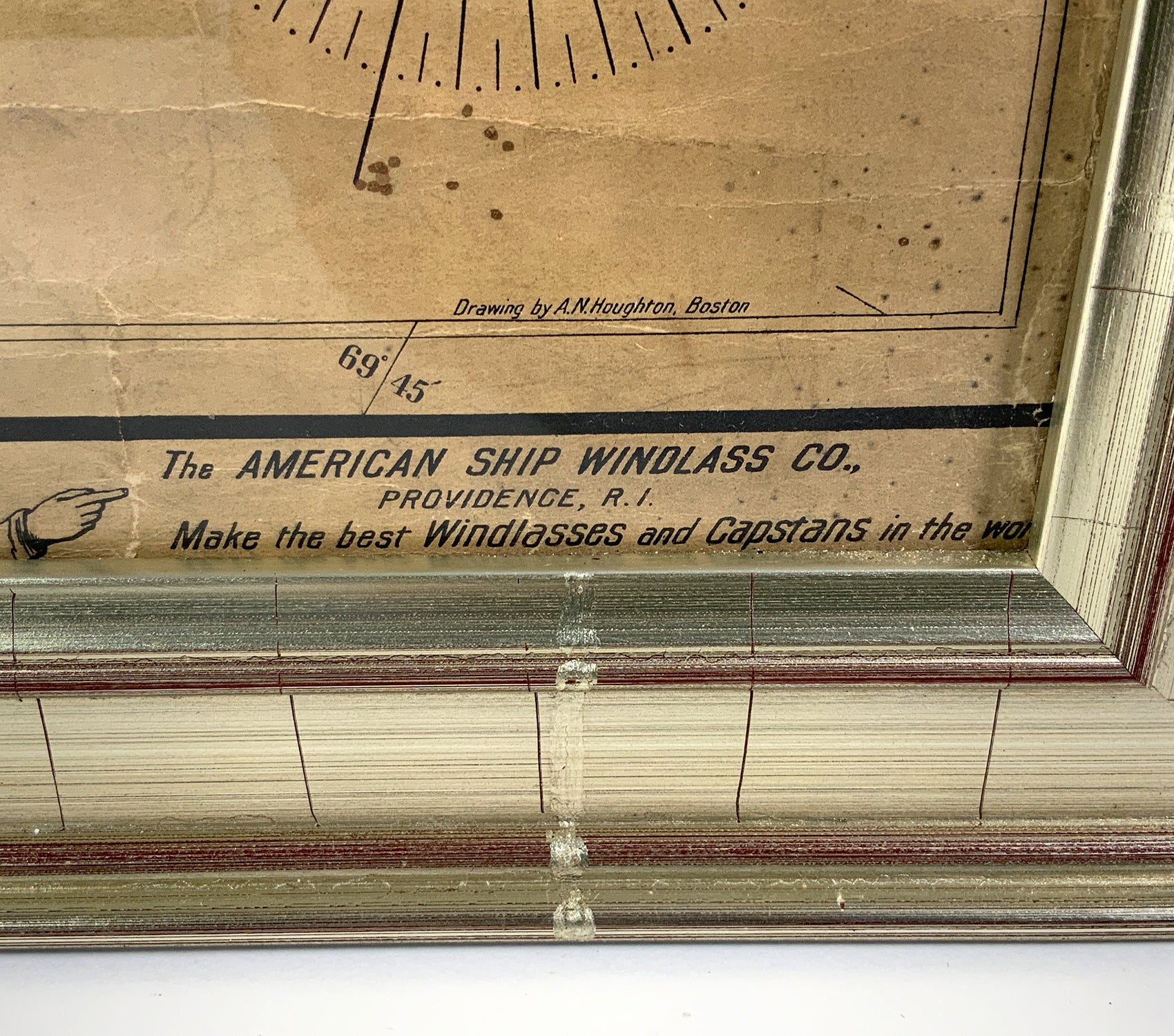
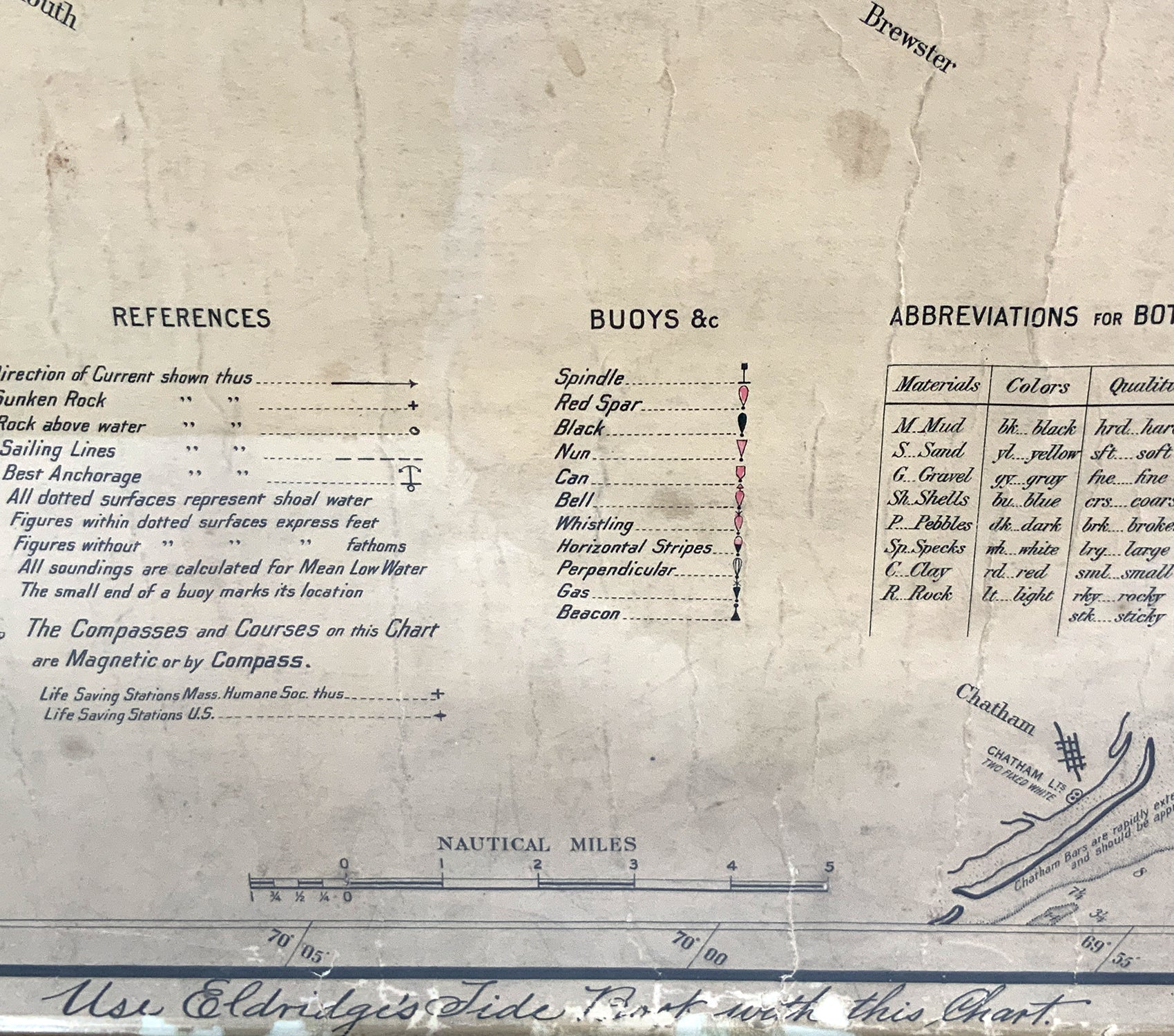
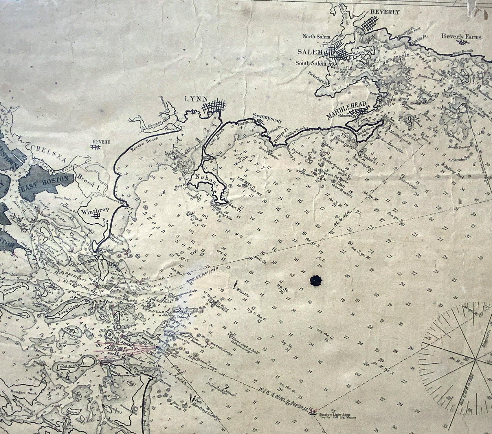
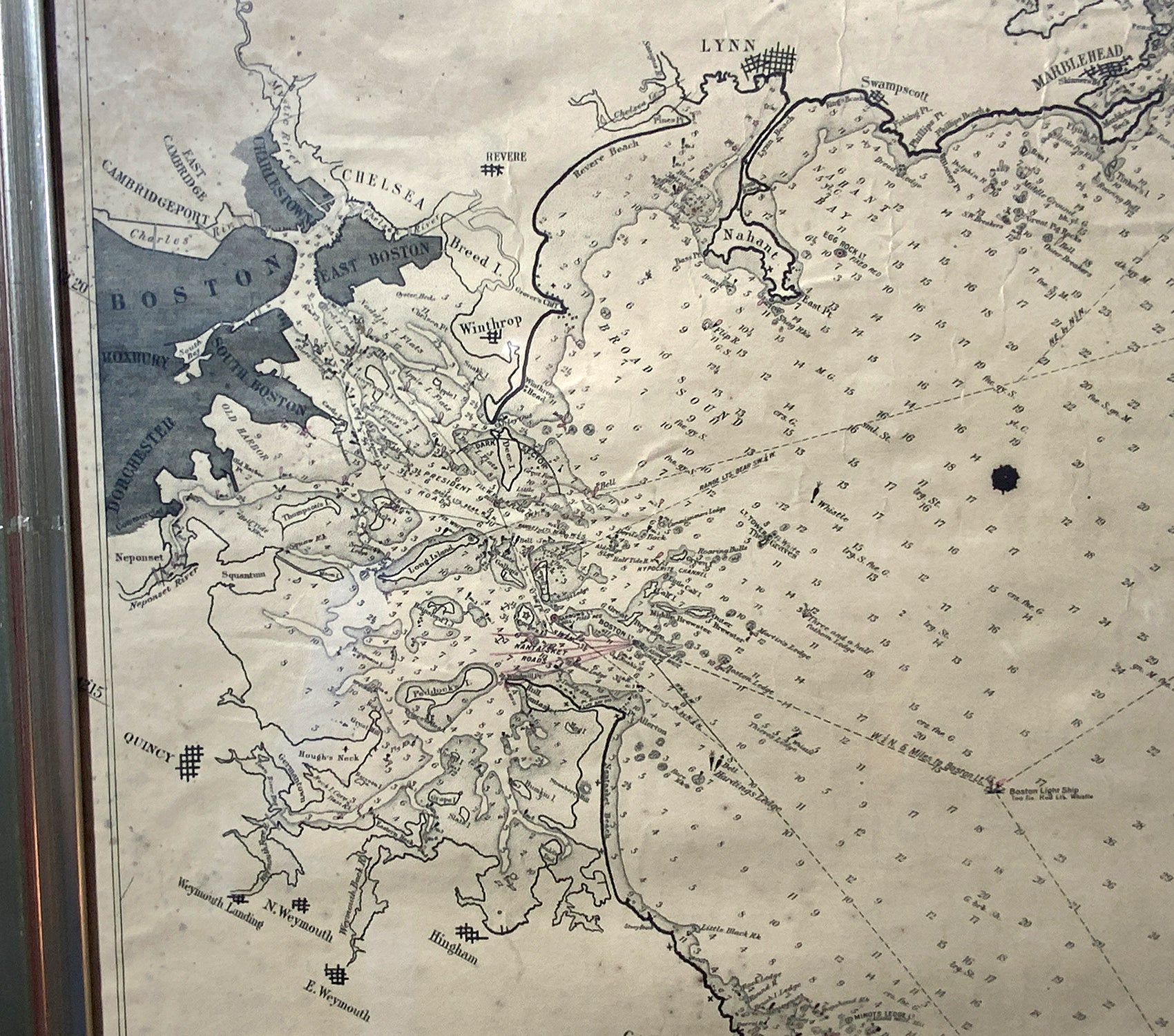
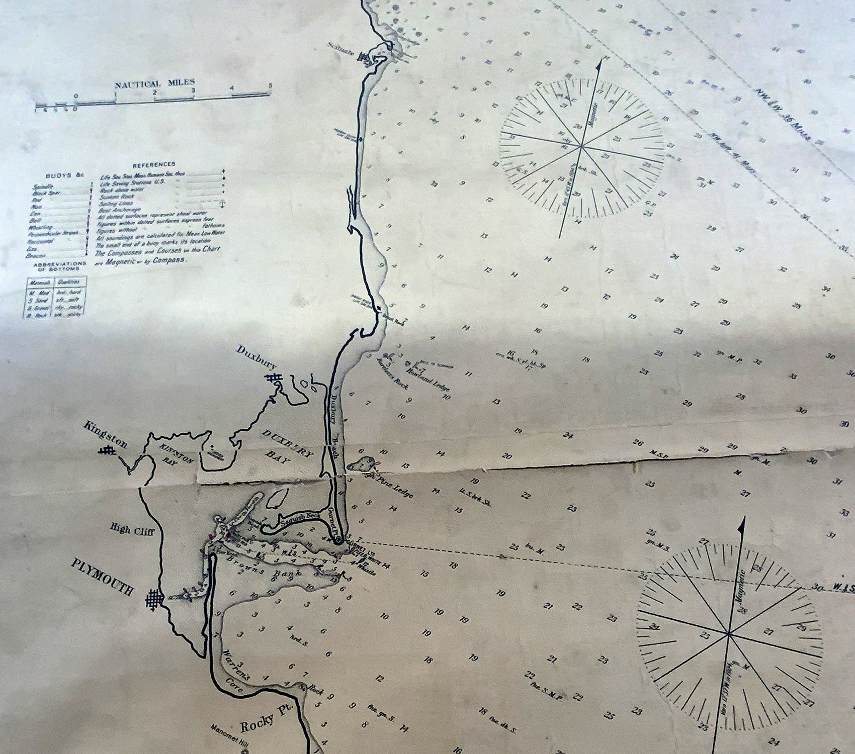
Cape Cod Bay chart from 1904 by George W. Eldridge. This chart "D" Massachusetts Bay and the coast from Chatham to Boston. Showing plotted courses, depths, lighthouses, ports, etc.. Excellent graphics. Ports include Barnstable, Sandwich, Duxbury, Plymouth, Cohasset, Hingham, Quincy, Boston, Marblehead, Lynn, Manchester by the Sea, Chatham, etc.. With seller's stamp of Charles C. Hutchinson 152 State St., Boston. Some paper loss to bottom of chart.
Overall Dimensions: 60"H x 23"L
Made: American
Material: Paper
Date: Circa 1904