

Lannan Gallery
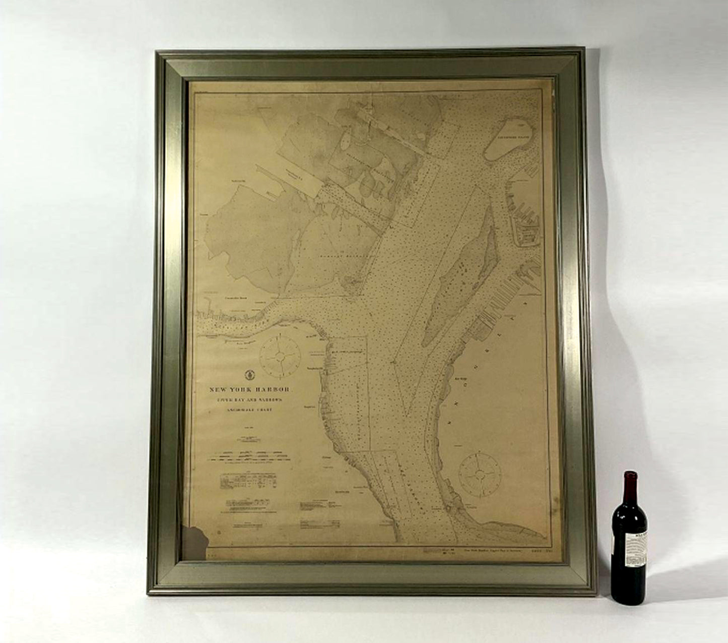
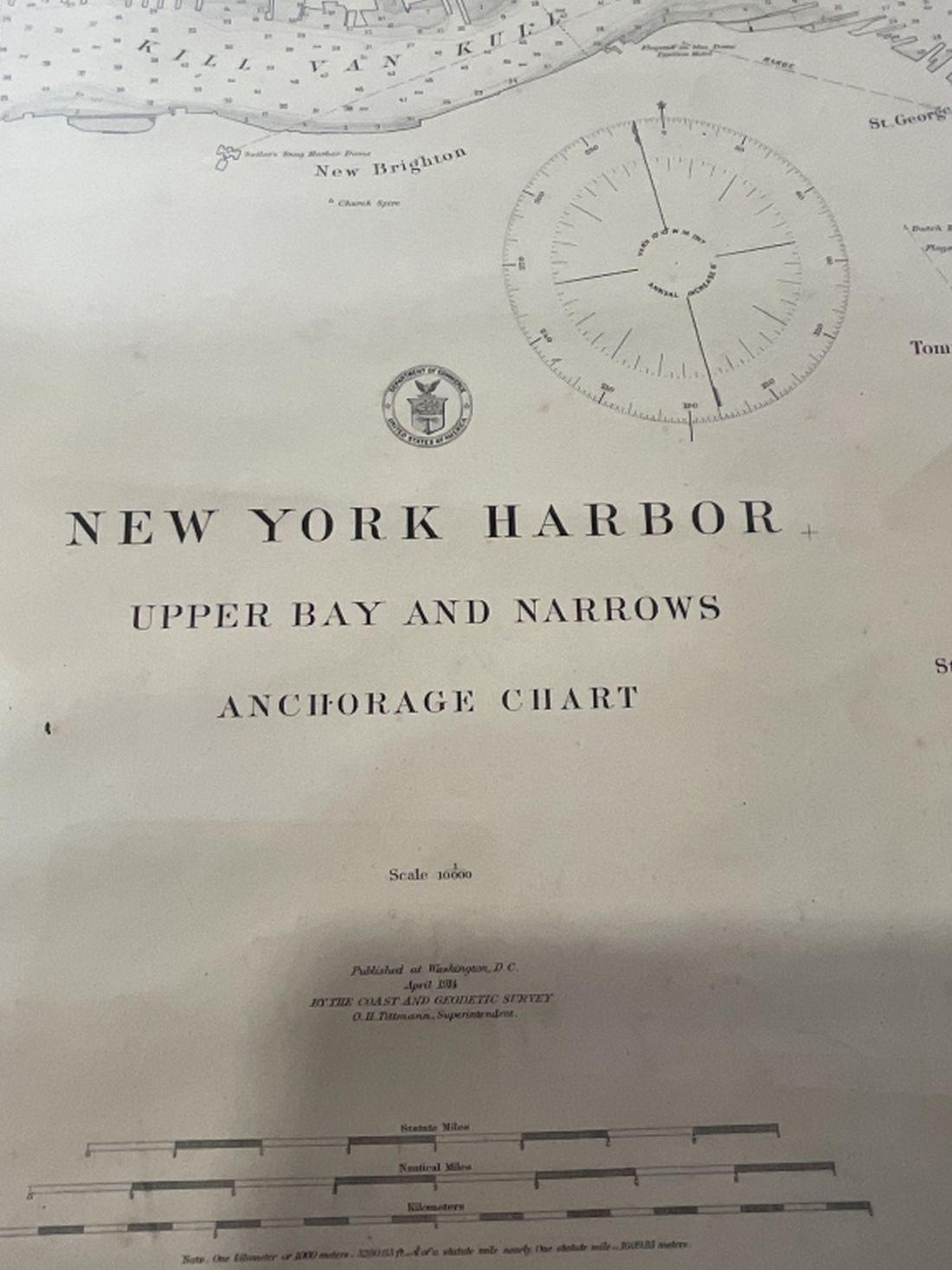
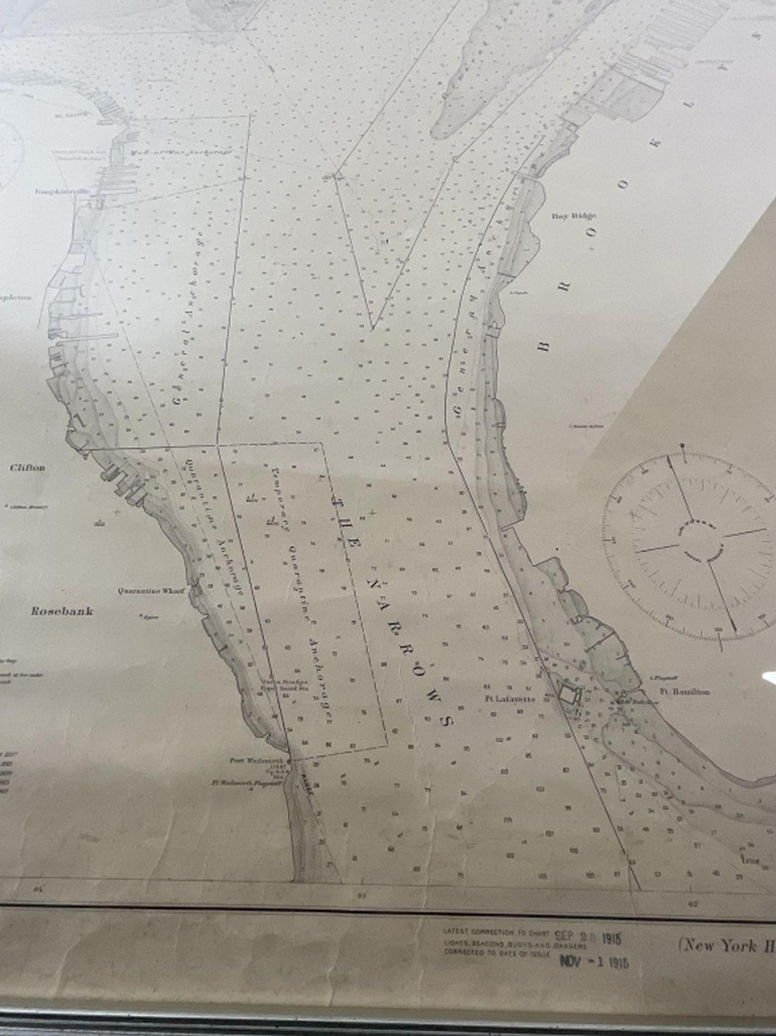
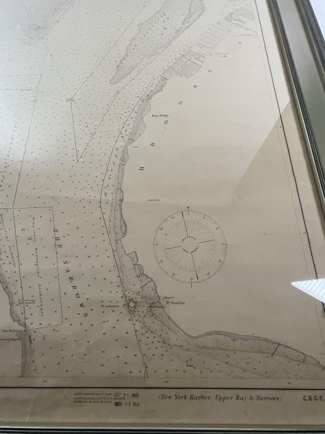
1914 Maritime Chart Of New York Harbor
1914 Maritime Chart Of New York Harbor
Regular price
$ 1,299.00 USD
Regular price
Sale price
$ 1,299.00 USD
Unit price
per
Couldn't load pickup availability
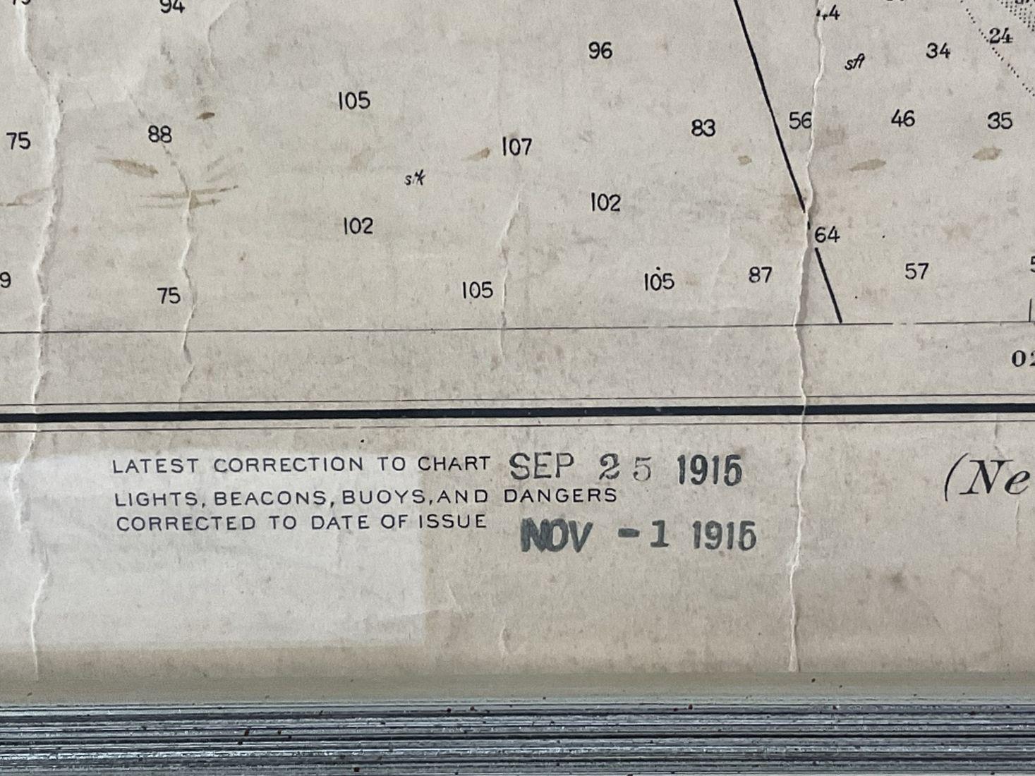
US Coast Survey Chart dated 1914. This is a nautical anchorage chart of New York Harbor, upper bay and narrows. This particular chart has areas marked where vessels were allowed to anchor in the bustling trade in thew early twentieth century. Land masses include Brooklyn, Bay Bridge, Red Hook, Governors Island, Pennsylvania Rail Yards, Constable Hook, etc.. Silver pained wood frame with glass. Paper loss lower left, some tear.
Dimensions; 52"H X 41"L, 24 lbs.