-
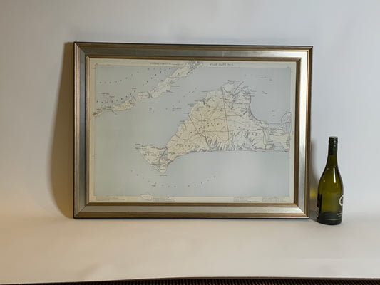
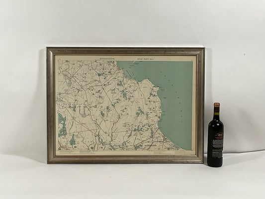
Map of Martha's Vineyard by Walker
Regular price $ 249.00 USDRegular priceUnit price per -
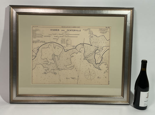
1914 Chart of Hyannis and Centerville
Regular price $ 445.00 USDRegular priceUnit price per -
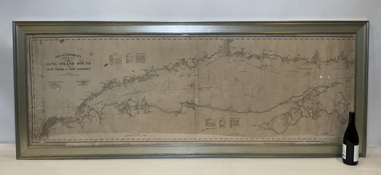
1905 Chart of Long Island Sound by Eldridge
Regular price $ 3,895.00 USDRegular priceUnit price per -
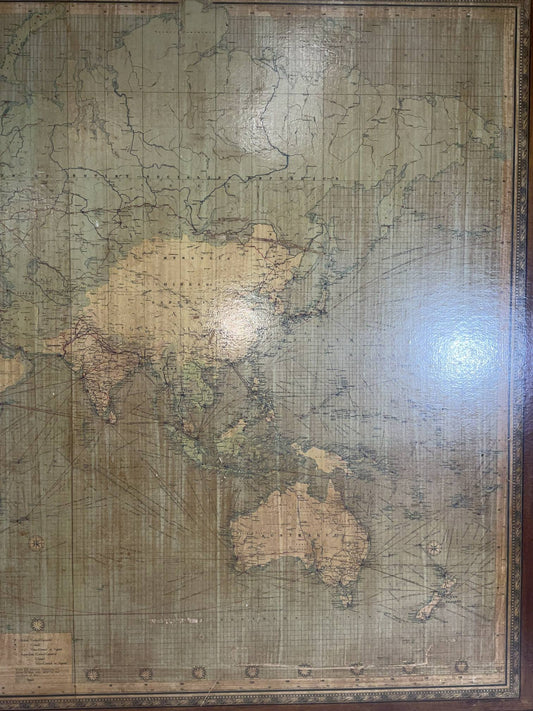
8 Foot Framed World Map by Philips
Regular price $ 1,695.00 USDRegular priceUnit price per -
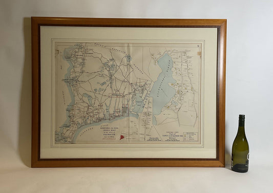
Falmouth Map From 1900
Regular price $ 495.00 USDRegular priceUnit price per -
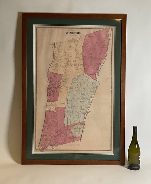
Map of the town of Yonkers in Westchester County
Regular price $ 445.00 USDRegular priceUnit price per -
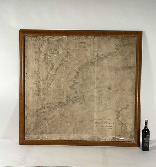
Mariners Chart of North America in Frame
Regular price $ 1,495.00 USDRegular priceUnit price per -
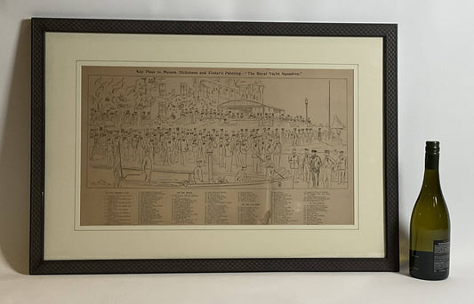
Royal Yacht Squadron Yachtsmen Litho
Regular price $ 695.00 USDRegular priceUnit price per -
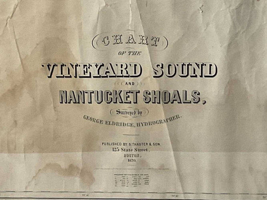
1870 Chart Martha's Vineyard And Nantucket
Regular price $ 2,495.00 USDRegular priceUnit price per -
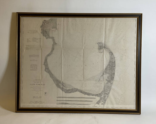
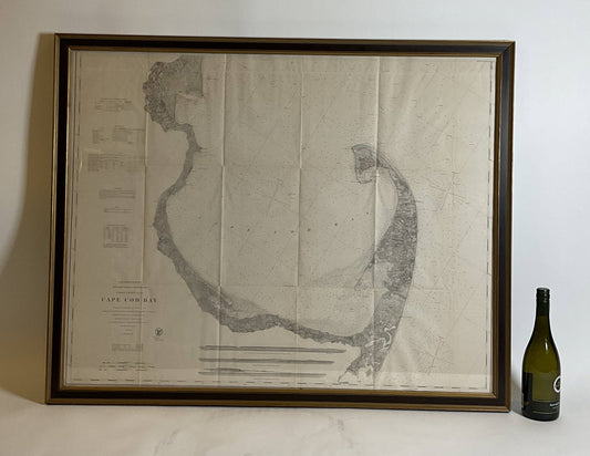
US Coast Survey Chart Of Cape Cod Bay
Regular price $ 1,295.00 USDRegular priceUnit price per -
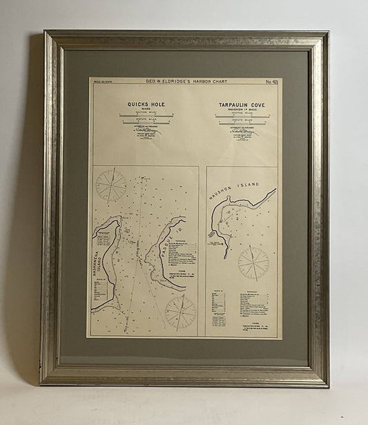
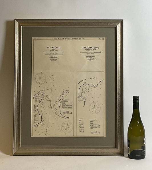
Mariners Chart of Quicks Hole and Tarpaulin Cove by George Eldridge 1901
Regular price $ 299.00 USDRegular priceUnit price per -
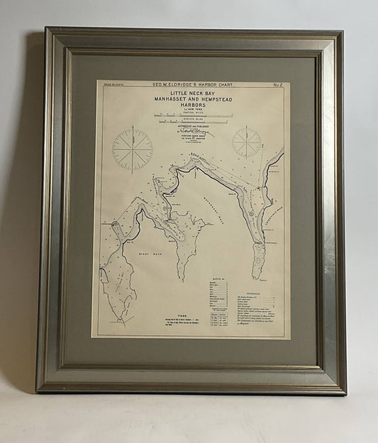
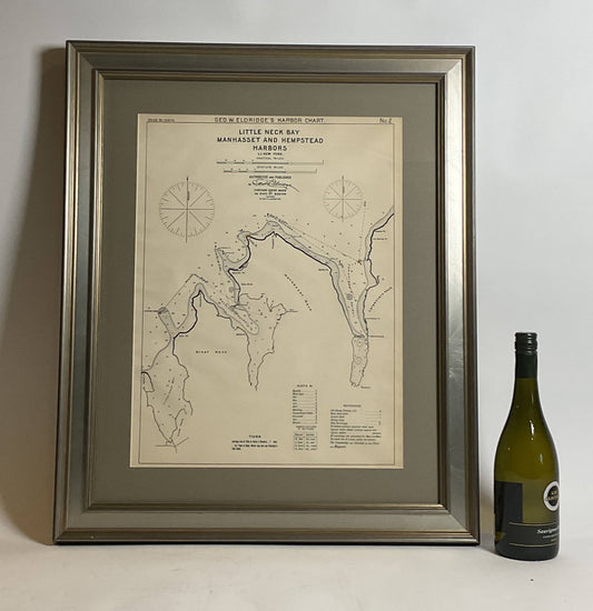
Mariners charts of Massachusett Long Island by George Eldridge 1901
Regular price $ 399.00 USDRegular priceUnit price per -
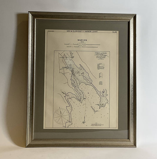
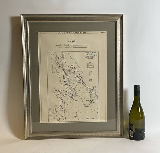
Mariners Chart of Marion Massachussets by George Eldridge 1901
Regular price $ 399.00 USDRegular priceUnit price per -
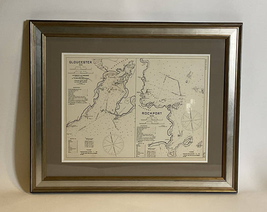
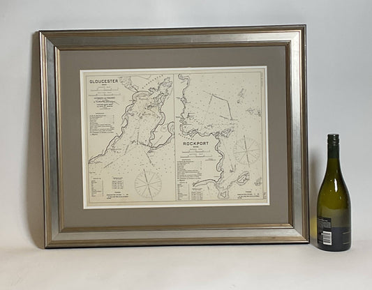
Mariners Chart of Gloucester and Rockport by George Eldridge 1910
Regular price $ 349.00 USDRegular priceUnit price per -
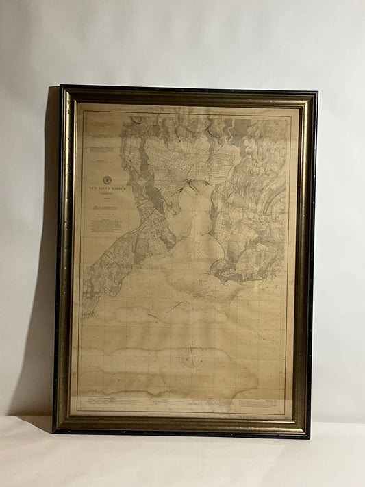
1896 Chart of the New Haven Harbor
Regular price $ 595.00 USDRegular priceUnit price per -
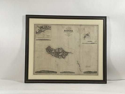
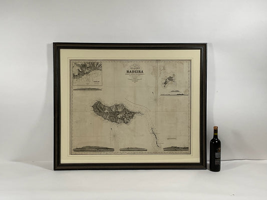
1865 Chart of the Islands of Madeira
Regular price $ 1,995.00 USDRegular priceUnit price per -
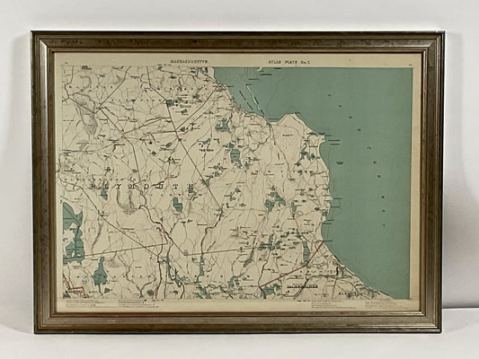
1891 Map of Plymouth County Mass
Regular price $ 595.00 USDRegular priceUnit price per -
 Sold out
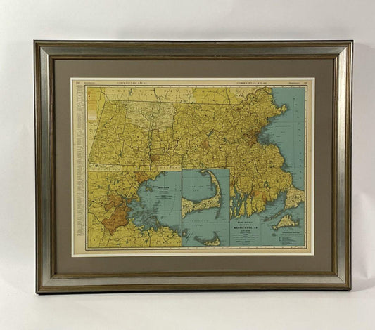
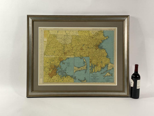
Map Of Massachusetts Circa 1920
Regular price $ 299.00 USDRegular priceUnit price per -
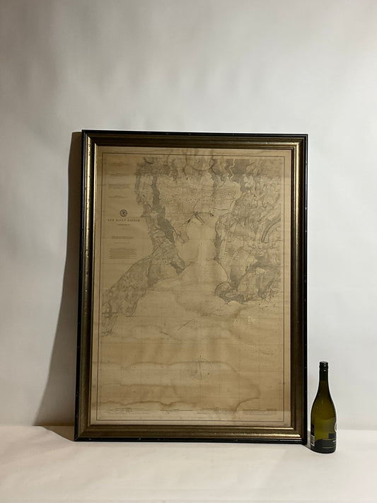
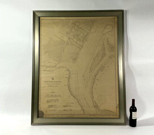
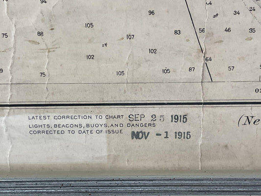
1914 Maritime Chart Of New York Harbor
Regular price $ 1,299.00 USDRegular priceUnit price per -
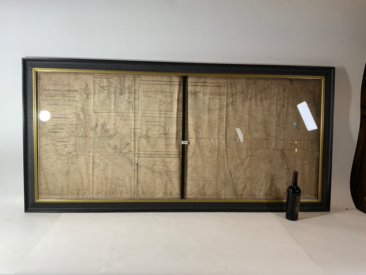
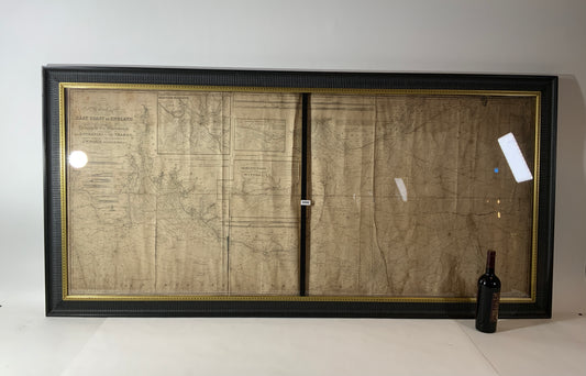
Chart of the East Coast of England
Regular price $ 1,895.00 USDRegular priceUnit price per