-
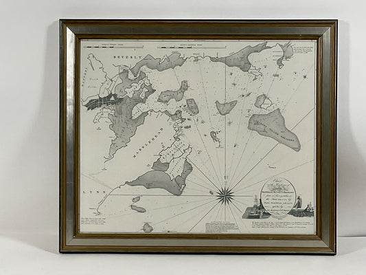
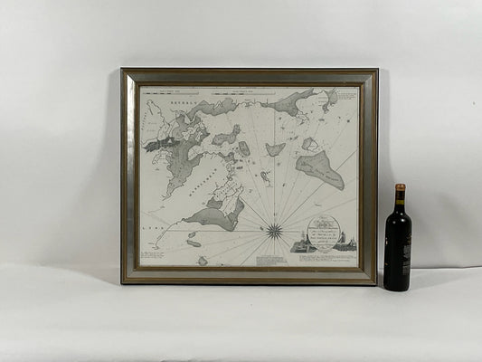
Chart of Boston's North Shore
Regular price $ 385.00 USDRegular priceUnit price per -
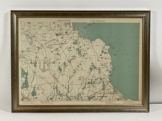
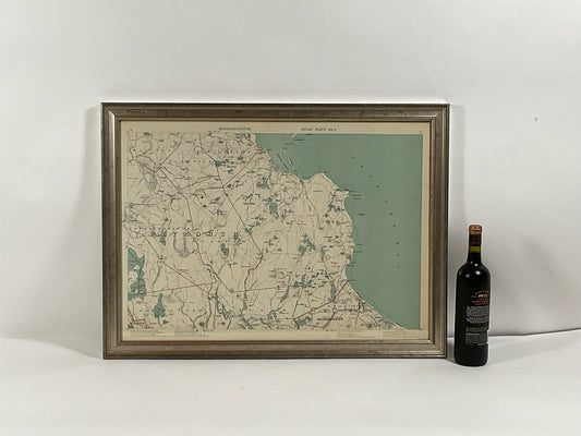
1891 Map of Plymouth County Mass
Regular price $ 595.00 USDRegular priceUnit price per -
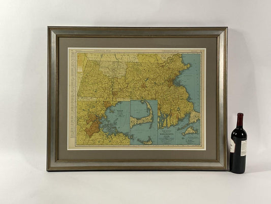 Sold out
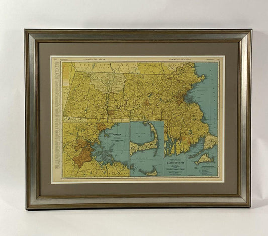
Map Of Massachusetts Circa 1920
Regular price $ 299.00 USDRegular priceUnit price per -
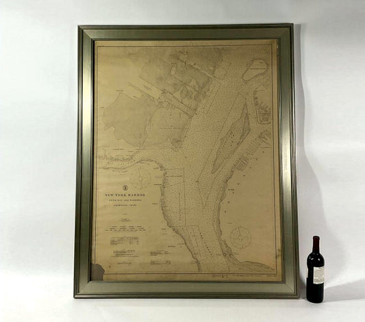
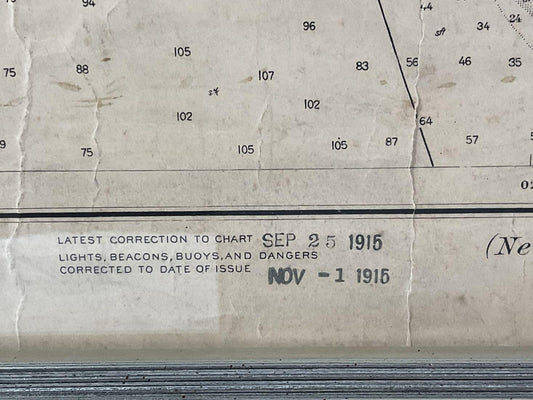
1914 Maritime Chart Of New York Harbor
Regular price $ 1,299.00 USDRegular priceUnit price per -
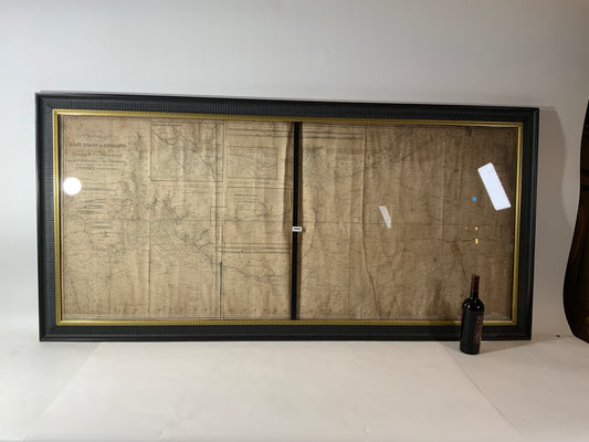
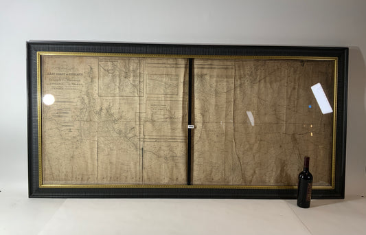
Chart of the East Coast of England
Regular price $ 1,895.00 USDRegular priceUnit price per -
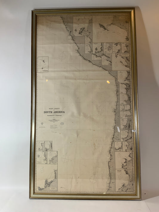
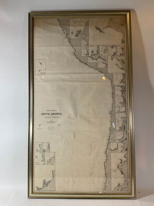
Chart of West Coast of South America by James Imray and Son
Regular price $ 1,895.00 USDRegular priceUnit price per -
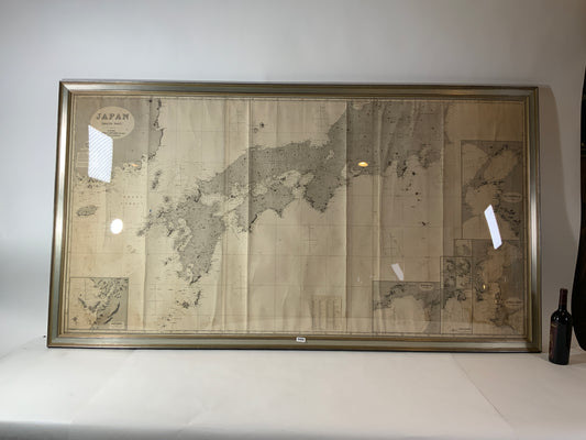
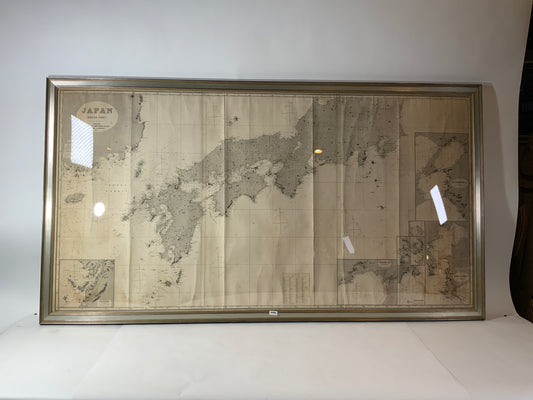
Chart of Japan by James Imray and Son
Regular price $ 1,895.00 USDRegular priceUnit price per -
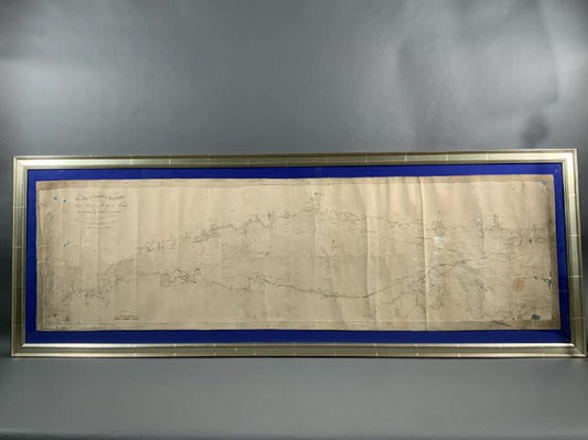
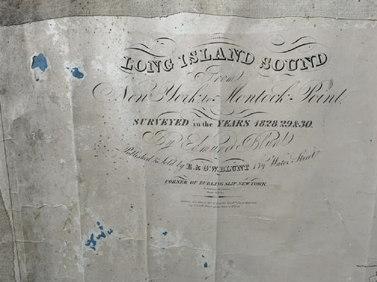
Long Island Chart From 1828
Regular price $ 6,500.00 USDRegular priceUnit price per -
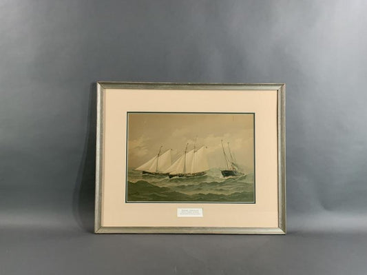
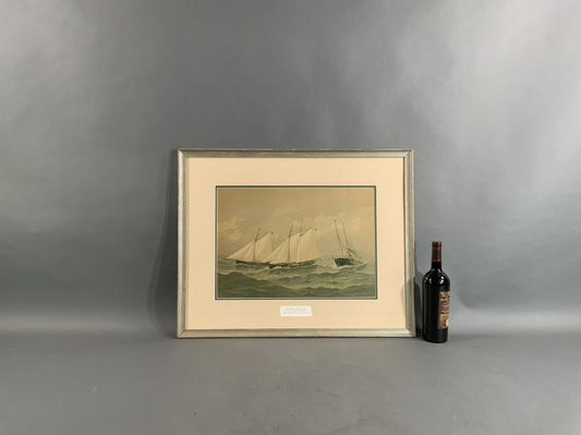
Fred Cozzens American Yachting Print
Regular price $ 395.00 USDRegular priceUnit price per -
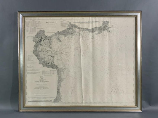
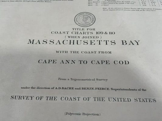
1898 Chart Of Boston Bay
Regular price $ 1,495.00 USDRegular priceUnit price per -
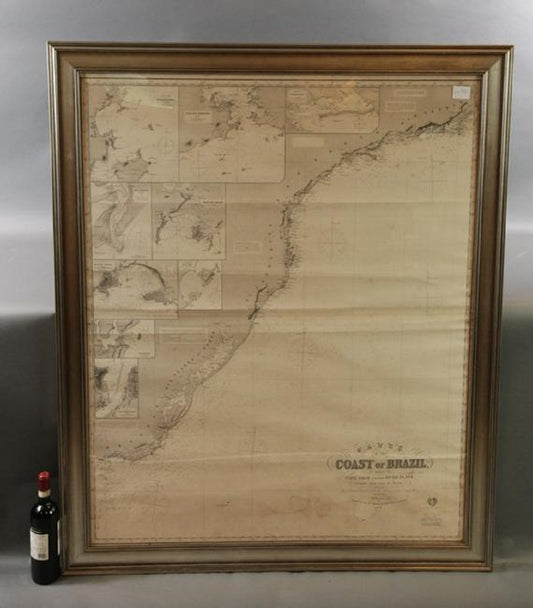
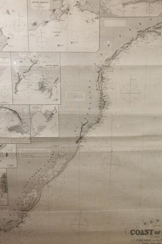
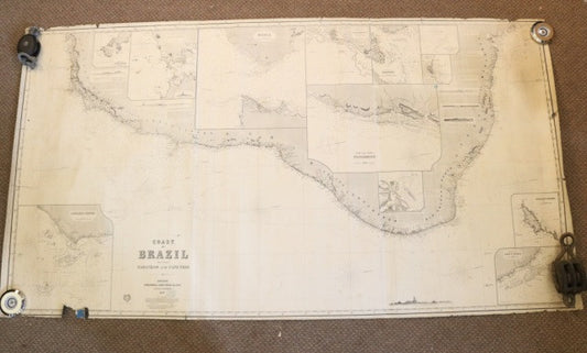
Imray Ocean Chart Of The Coast Of Brazil 1876
Regular price $ 1,800.00 USDRegular priceUnit price per -
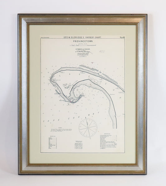
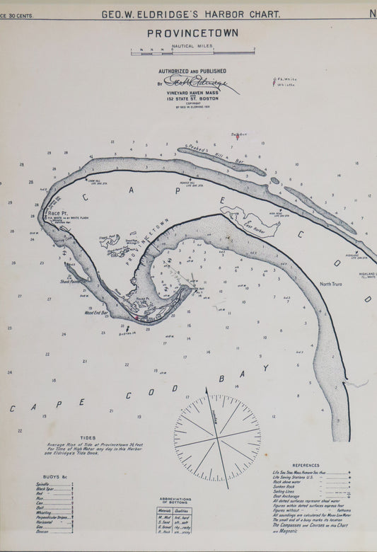
1901 Provincetown Chart
Regular price $ 450.00 USDRegular priceUnit price per -
Original 1891 Walker Map
Regular price $ 495.00 USDRegular priceUnit price per -
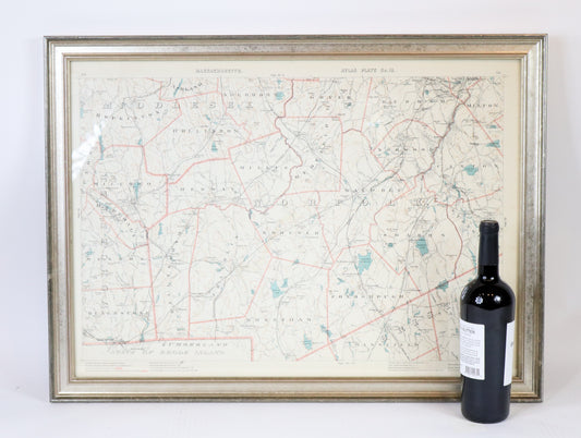
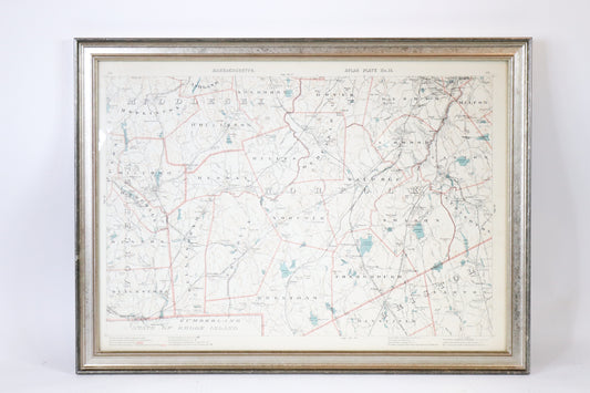
1891 Map of Norfolk County | Massachusetts
Regular price $ 445.00 USDRegular priceUnit price per -
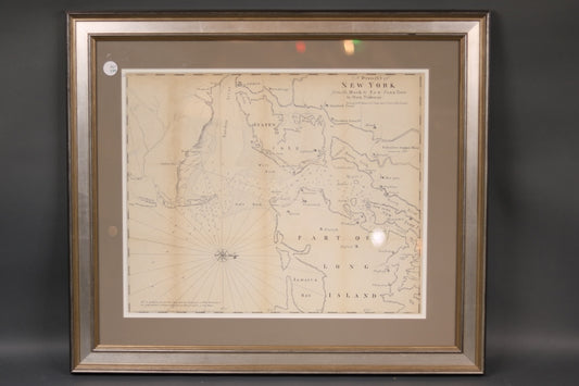
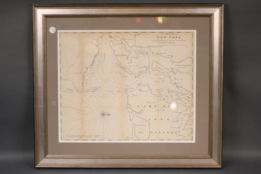
Original Map | A Draught of New York | c.1855
Regular price $ 445.00 USDRegular priceUnit price per -
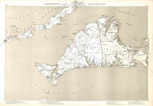
Atlas Plate No. 11, Martha's Vineyard COPY
Regular price $ 295.00 USDRegular priceUnit price per -
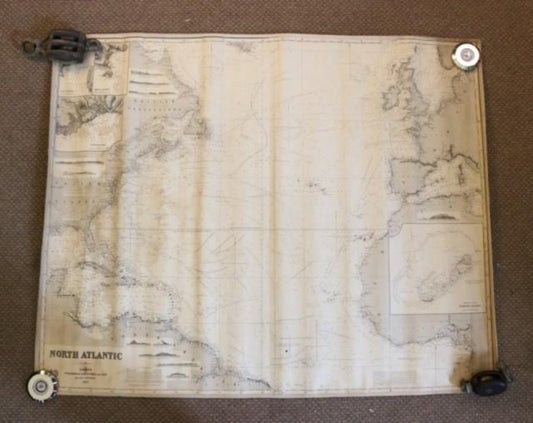
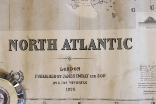
Original Imray & Son Chart of North Atlantic, 1876
Regular price $ 2,495.00 USDRegular priceUnit price per -
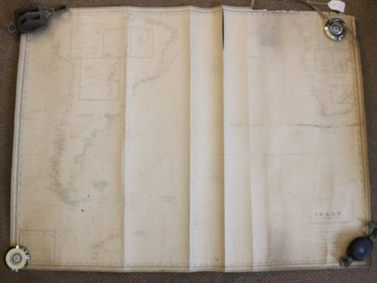
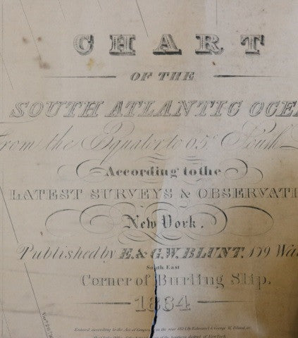
Original Chart of the South Atlantic Ocean, 1864
Regular price $ 1,250.00 USDRegular priceUnit price per -
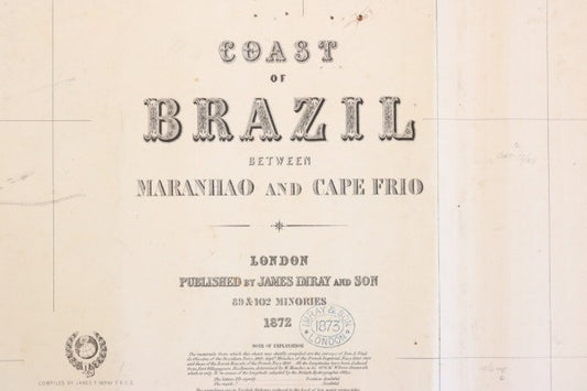
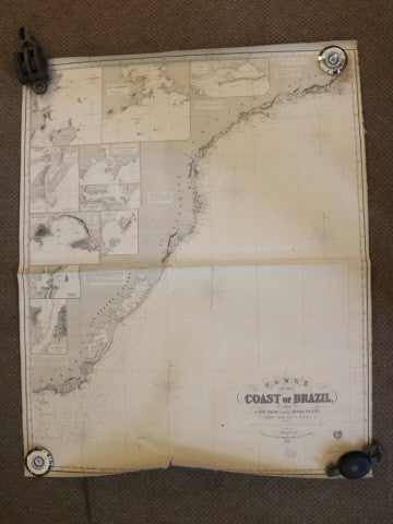
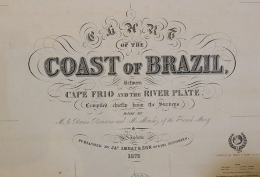
Original Imray Chart of the Coast of Brazil
Regular price $ 1,250.00 USDRegular priceUnit price per -
Original Imray Chart of the Coast of Brazil
Regular price $ 1,250.00 USDRegular priceUnit price per
