1
/
of
8
Lannan Gallery
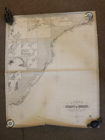
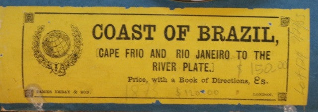
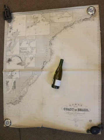
Original Imray Chart of the Coast of Brazil
Original Imray Chart of the Coast of Brazil
Regular price
$ 1,250.00 USD
Regular price
Sale price
$ 1,250.00 USD
Unit price
/
per
Couldn't load pickup availability
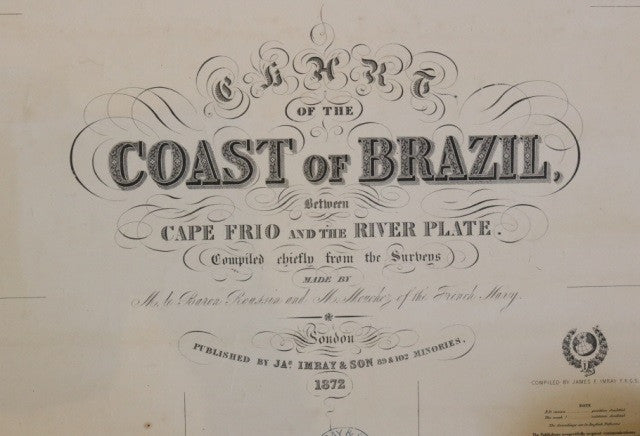
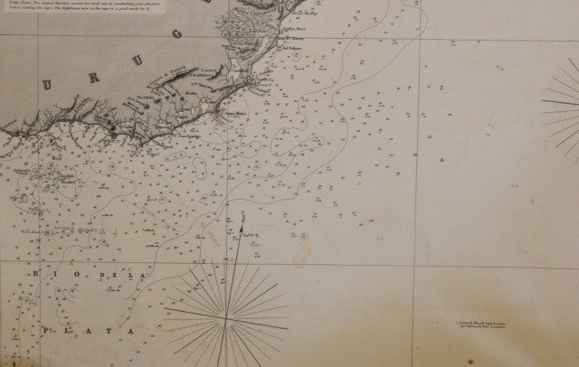
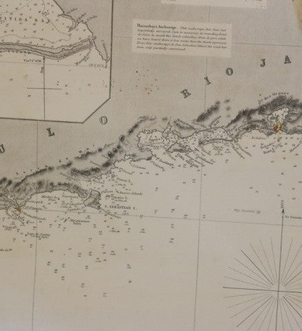
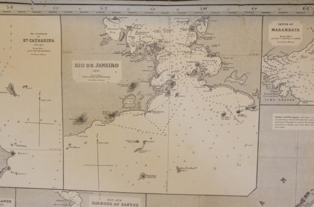
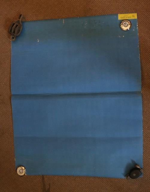
Imray & Son 1872 Chart of the Coast of Brazil, from Maranhao to Cape Frio. Stamped "1873" below title. Details include Imray & Son 1872 Chart of the Coast of Brazil, between Cape Frio and the River Plate, complied by M. le Baron Roussim and M. Mouchez of the French Navy. Stamped "1873" below title. Details shown include Rio de la Plata, Uruguay, Rio Grande, San Sebastiao, Canaea, Monte Video, Bay of Parangua, Cape St. Marie, Rio Grande, Bay & Harbor of Santos and Rio de Janeiro. Some foxing to the top paper. Unframed and mounted to blue paper. Overall Dimensions: 50" H x 41" L Frio, Rio de Janerio, Bahia, Pernambuco and others. There are some rips in the corners, slight discoloration and stains. Unframed and mounted to blue paper. Overall Dimensions: 41" H x 70" L
Share
