Lannan Gallery
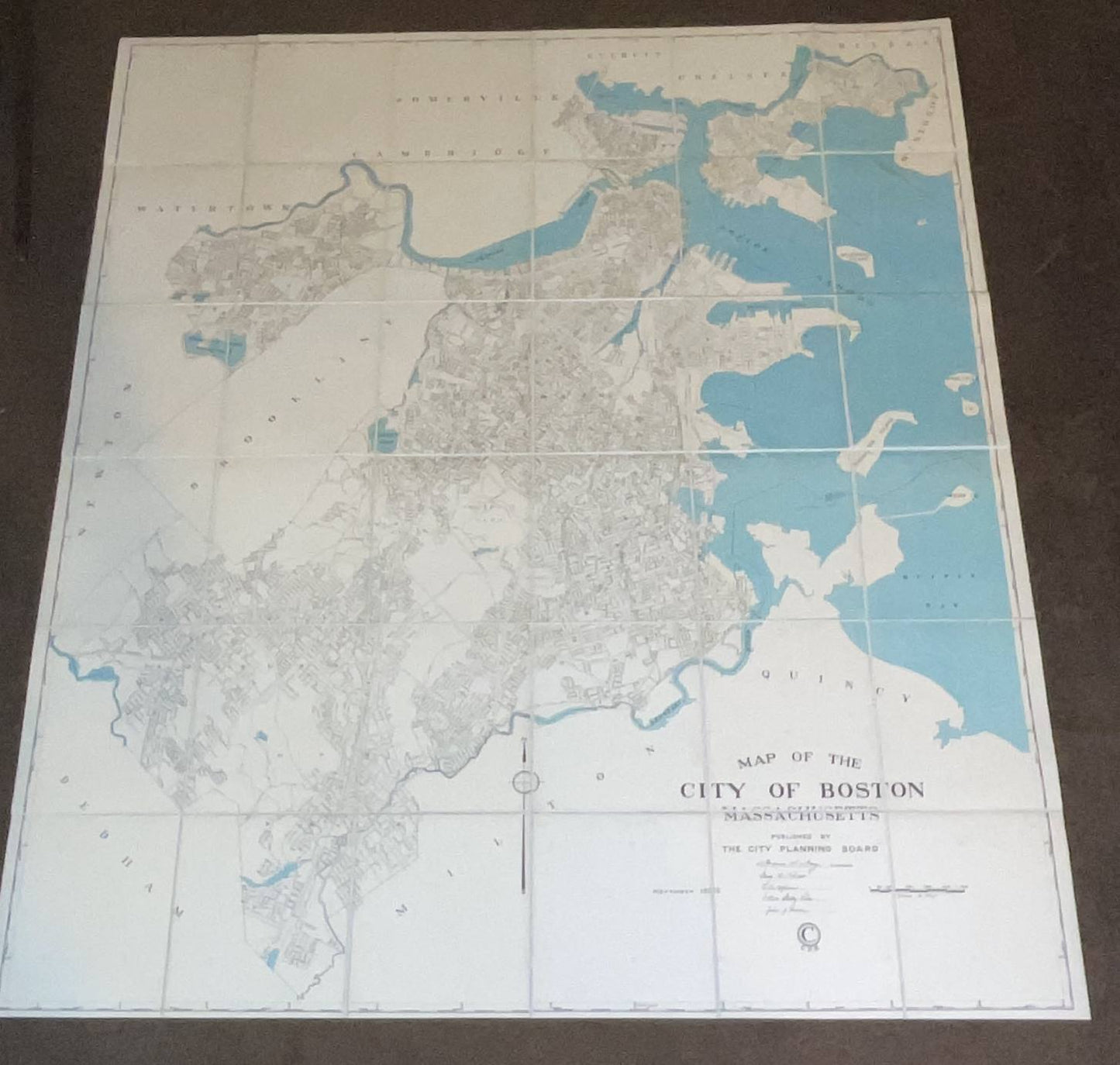
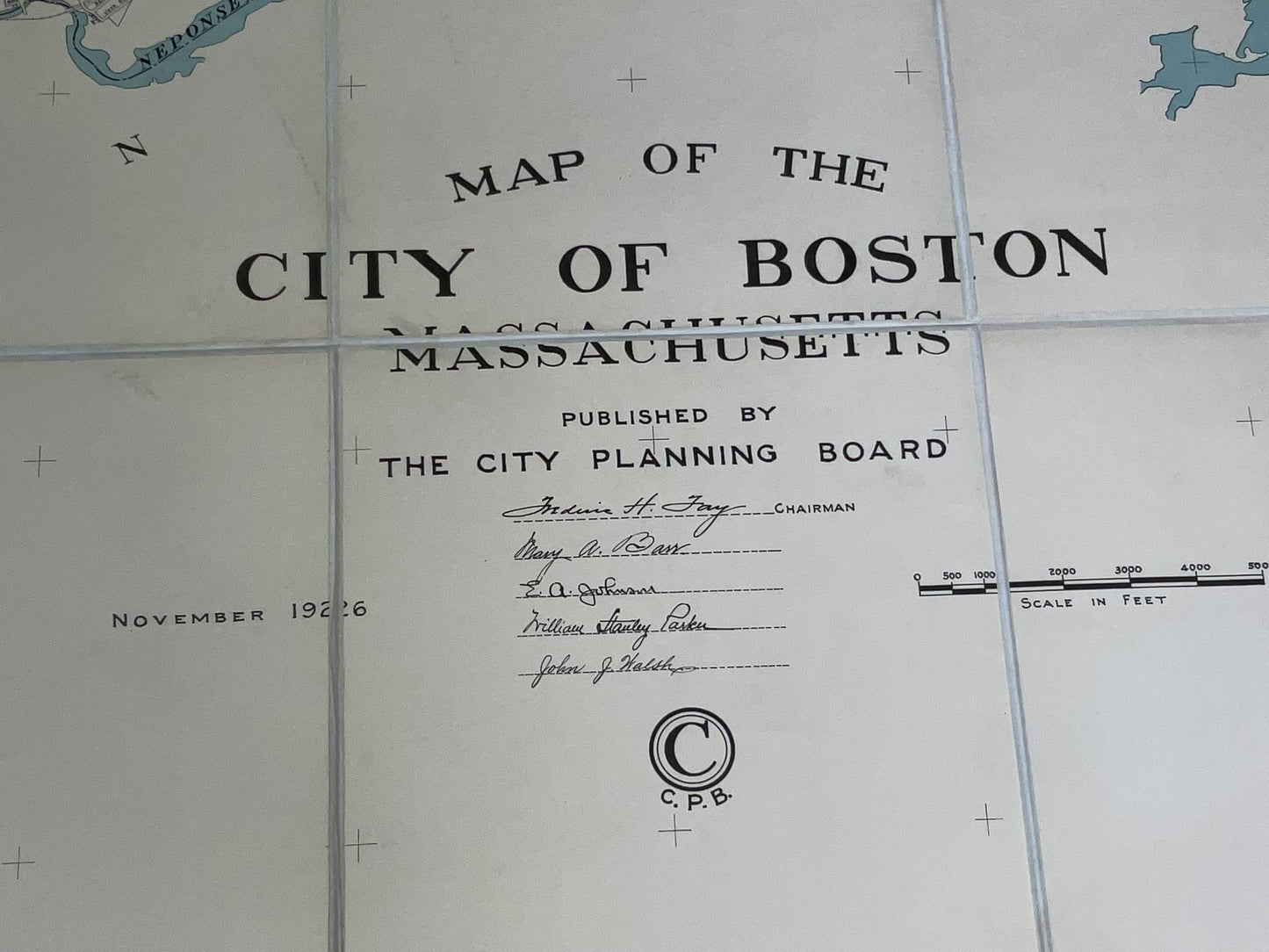
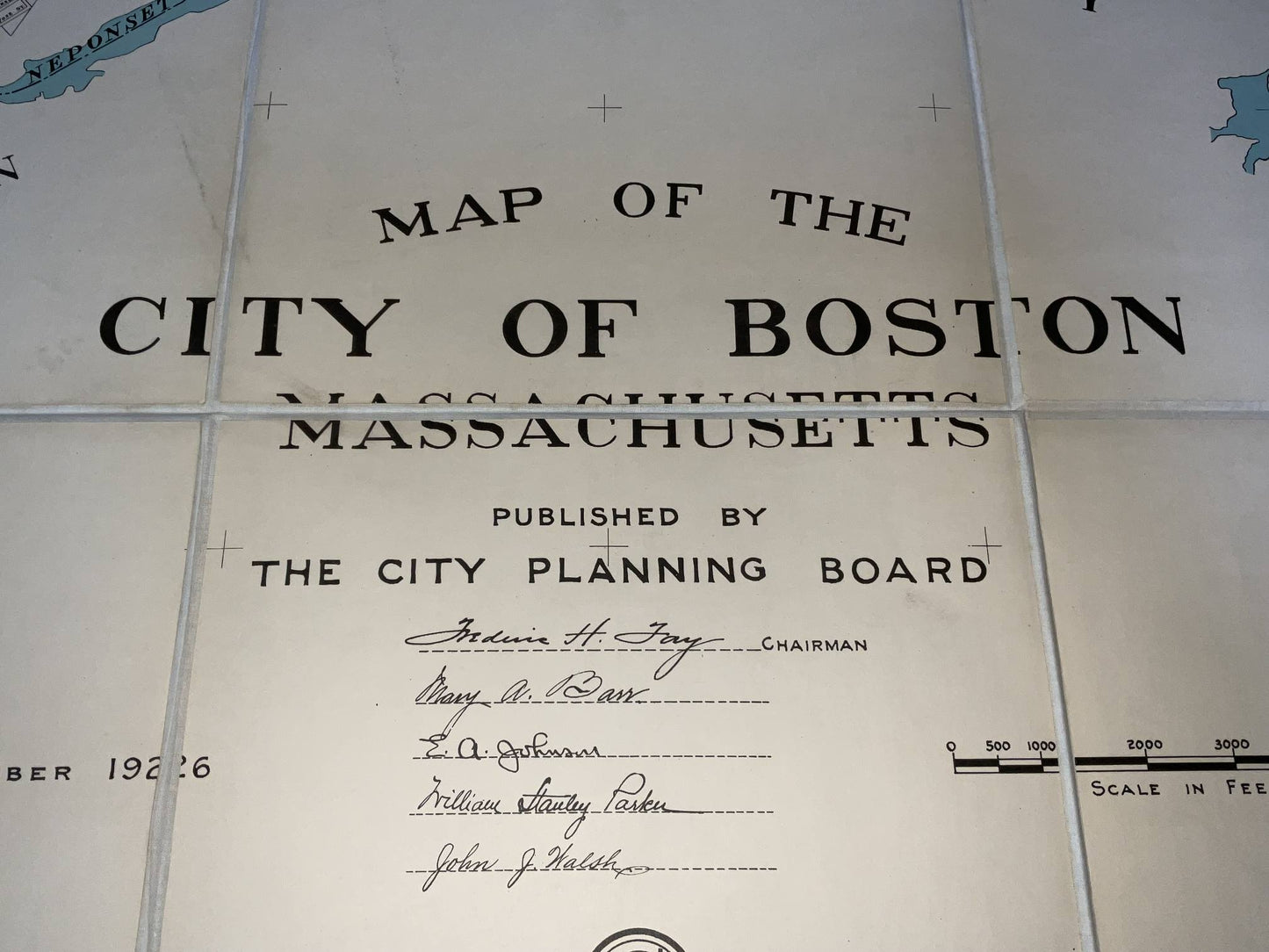
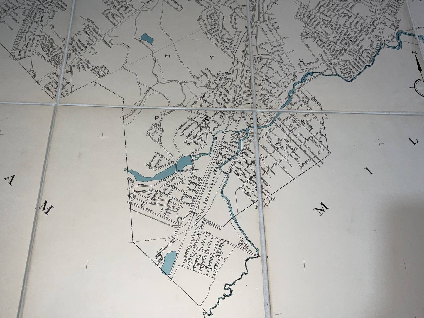
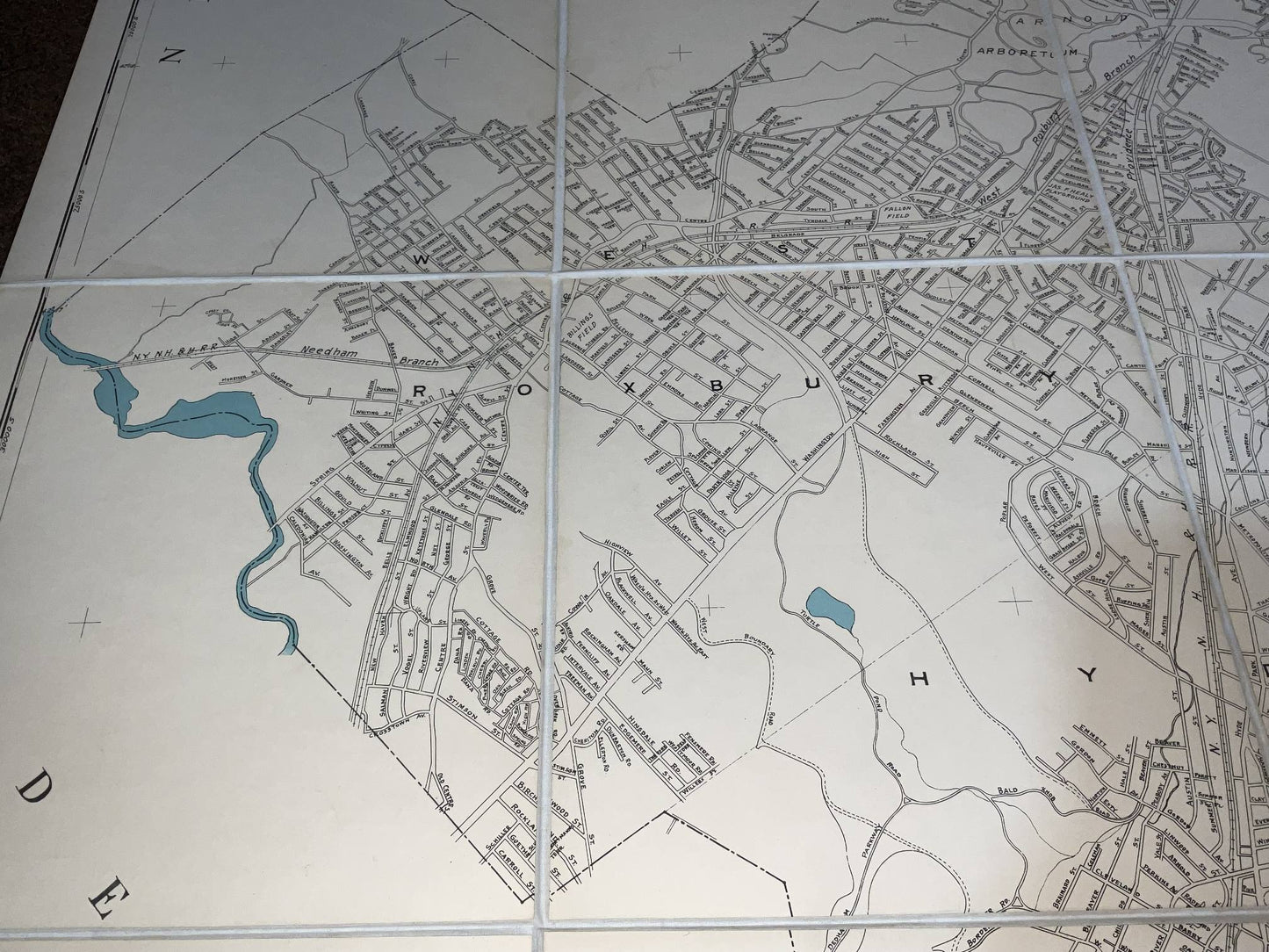
City of Boston Map from 1926
City of Boston Map from 1926
Regular price
$ 550.00 USD
Regular price
Sale price
$ 550.00 USD
Unit price
per
Couldn't load pickup availability
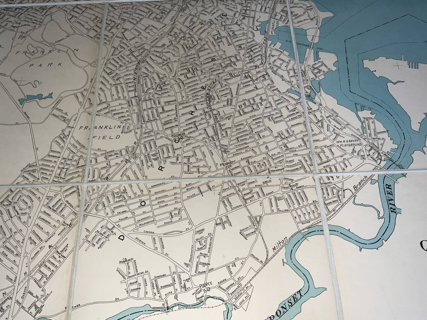
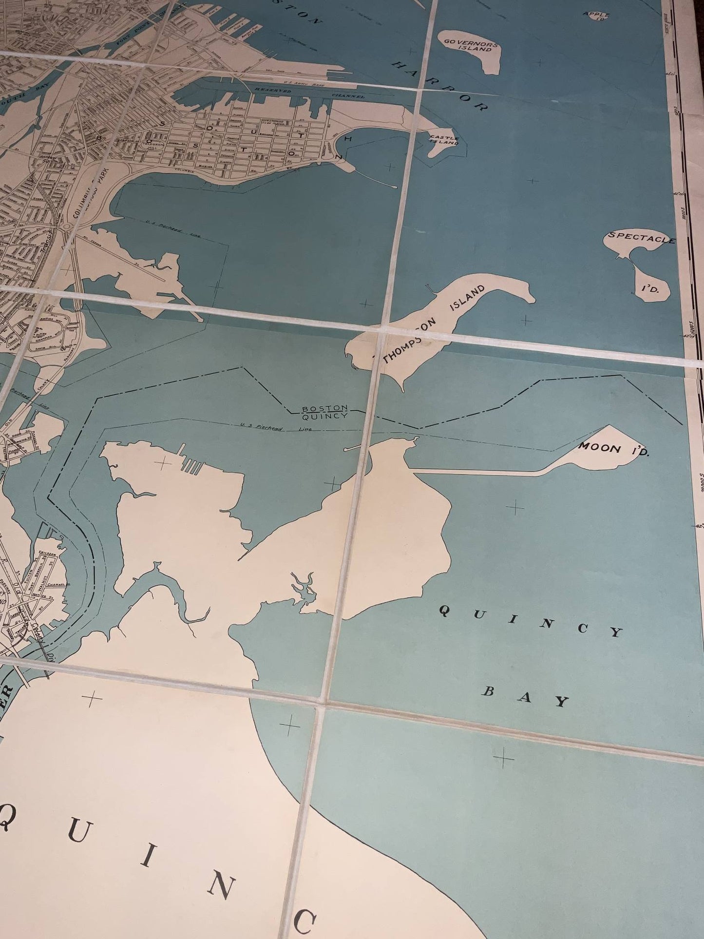
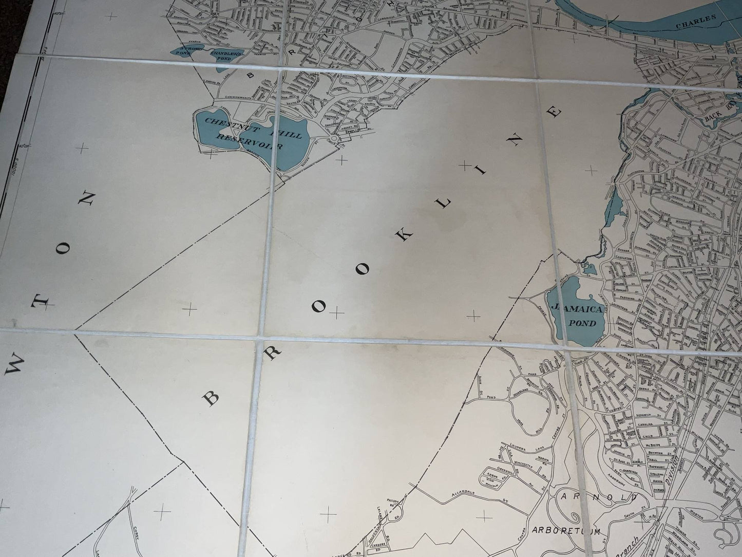
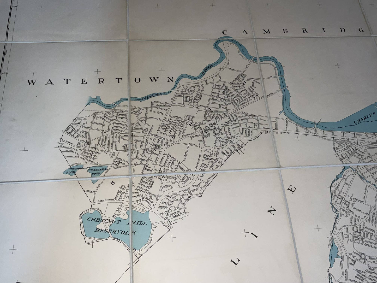
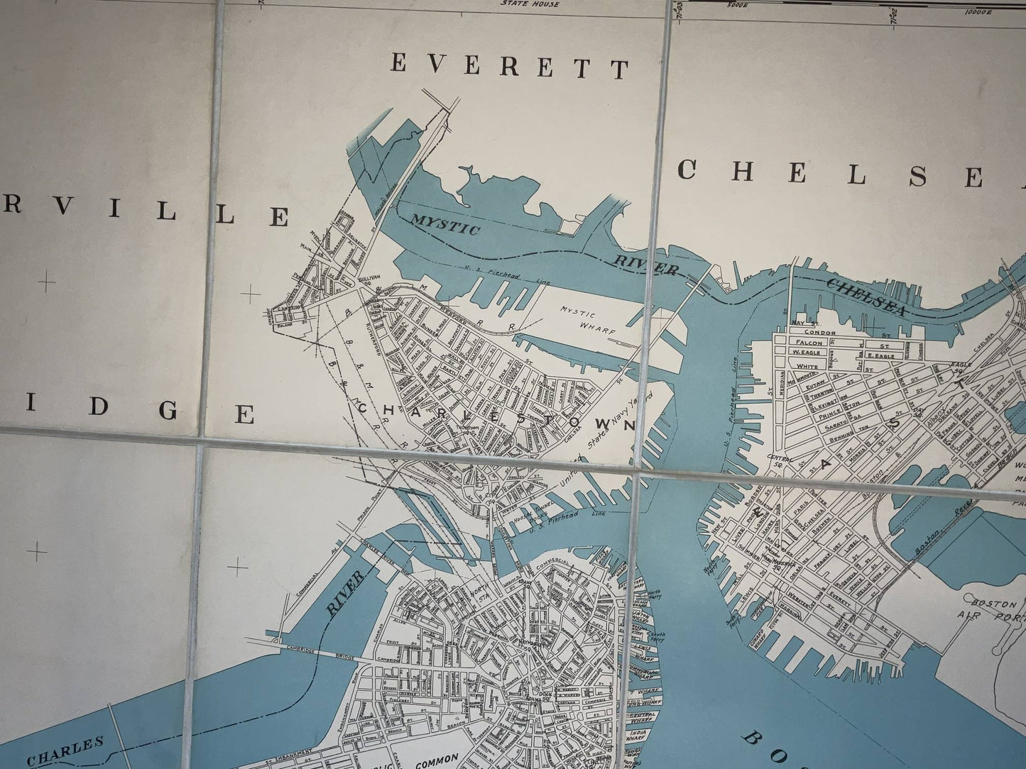
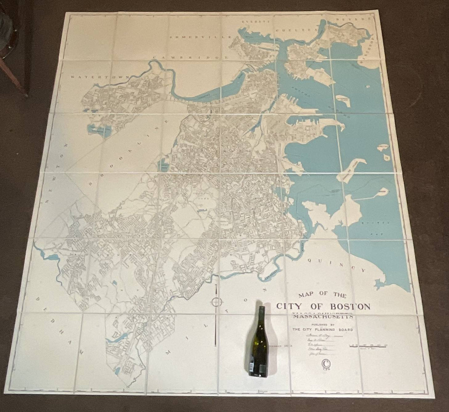
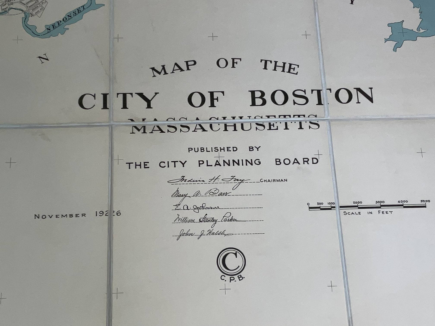
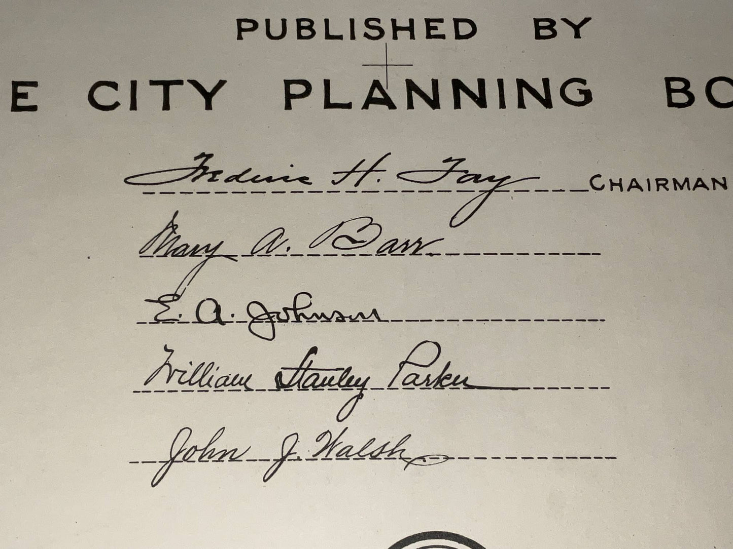
1926 City Planning Board map of Boston dated November 1926. This is a very large scale map (over 6 feet square) showing the entire city of Boston with all of its streets, rail, and waterways shown. Quite rate. 83" H x 75" L.