


Lannan Gallery
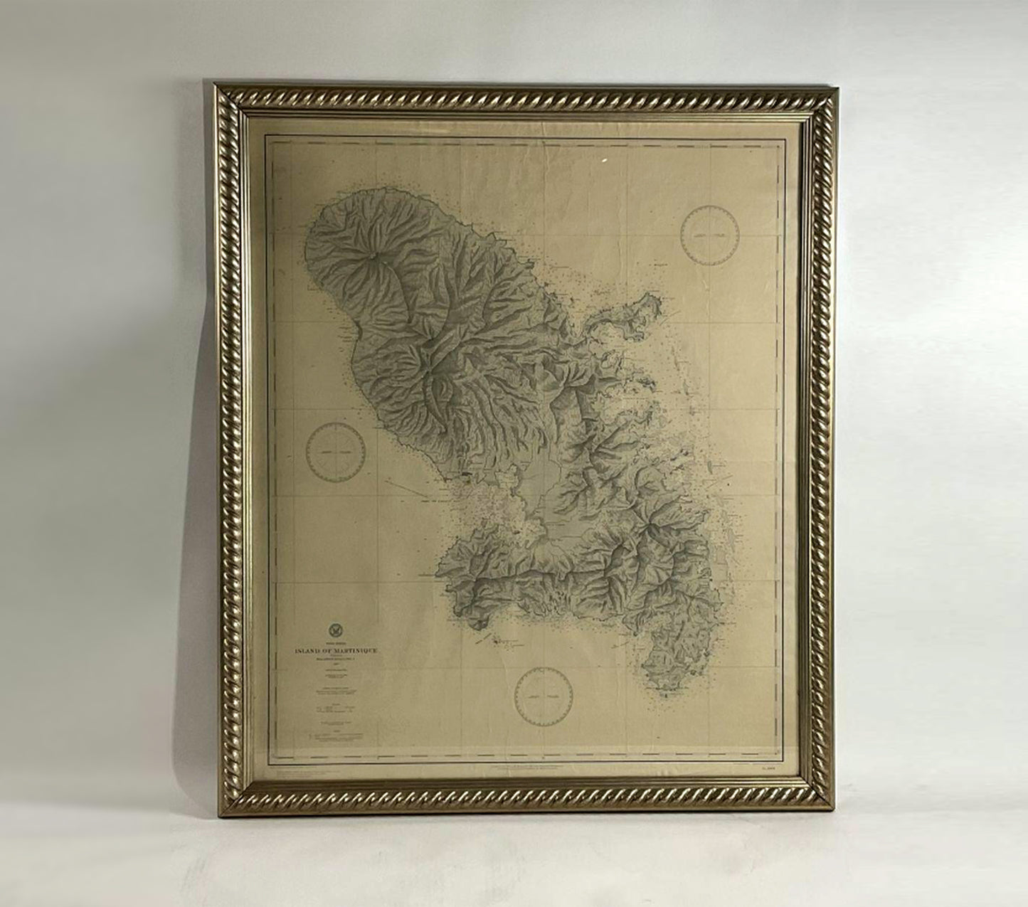
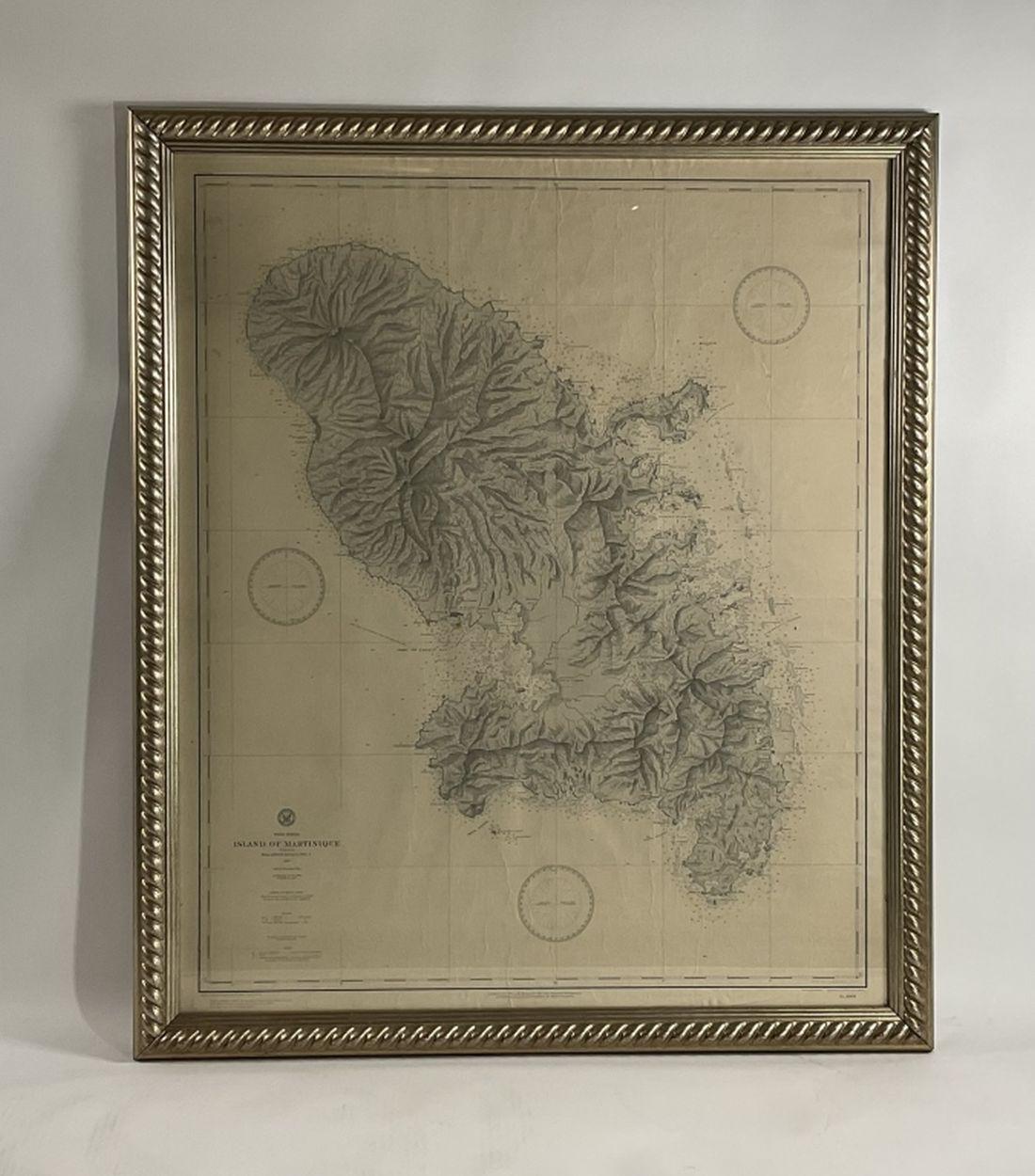
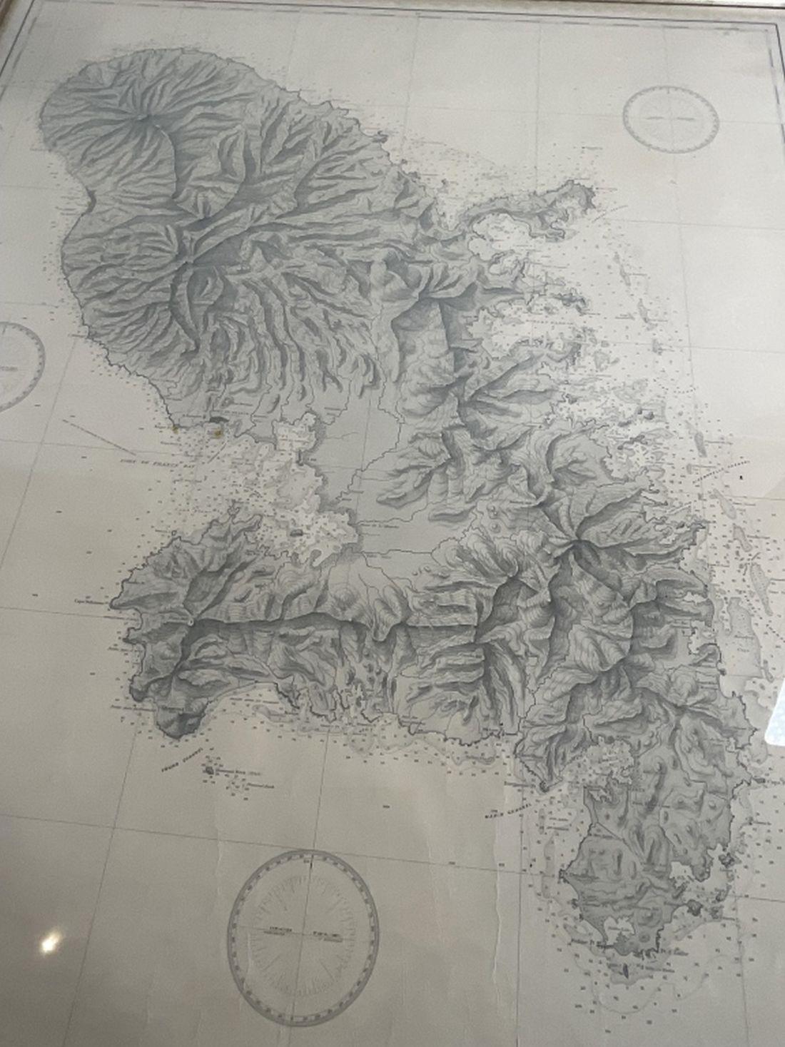
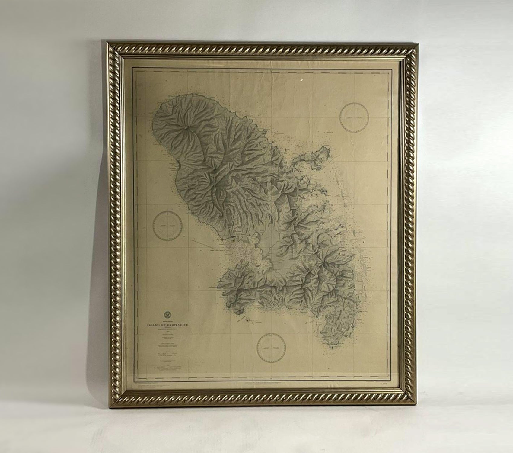
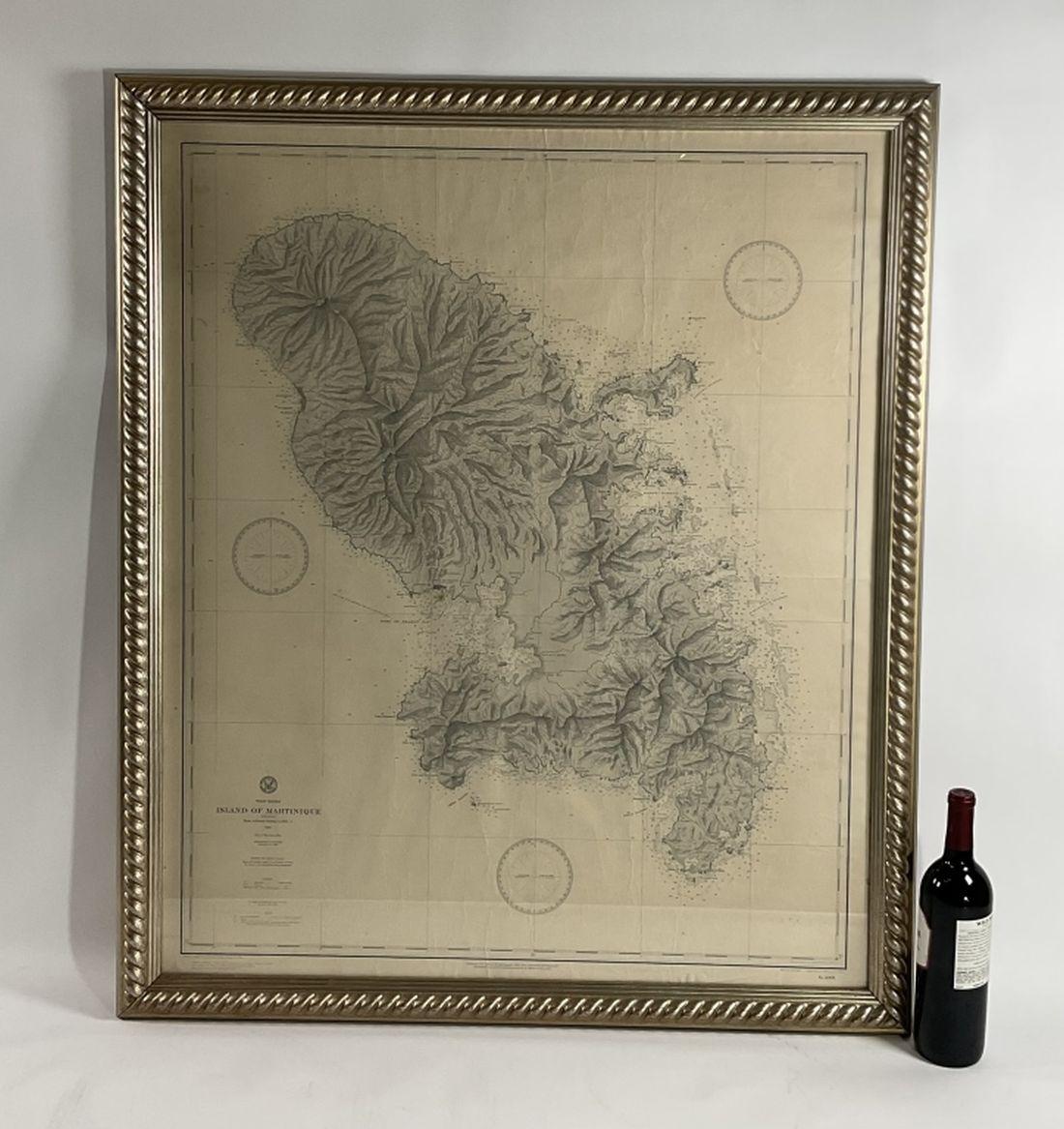
Martinique Chart from 1887
Martinique Chart from 1887
Regular price
$ 2,495.00 USD
Regular price
Sale price
$ 2,495.00 USD
Unit price
per
Couldn't load pickup availability
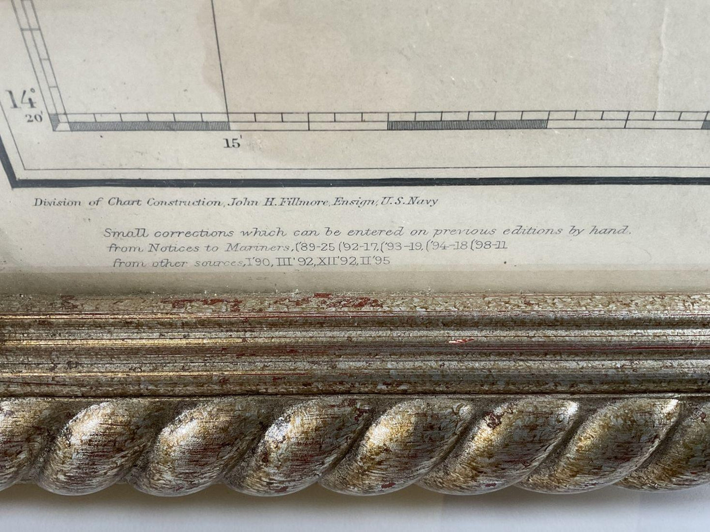
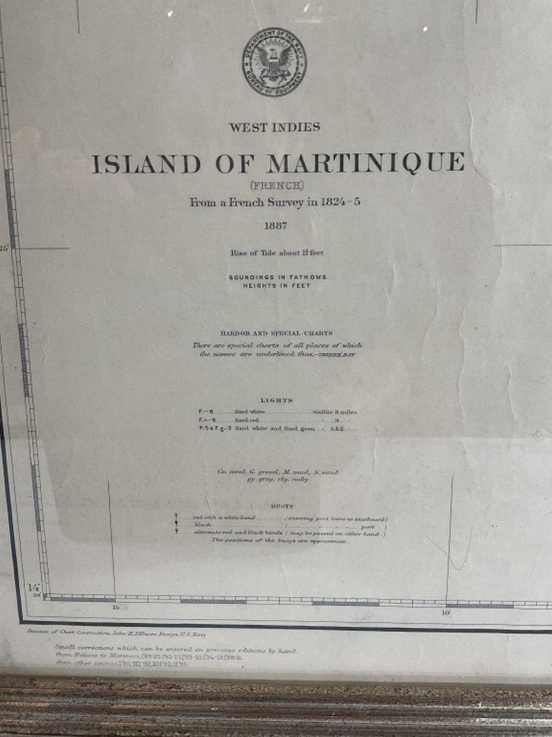
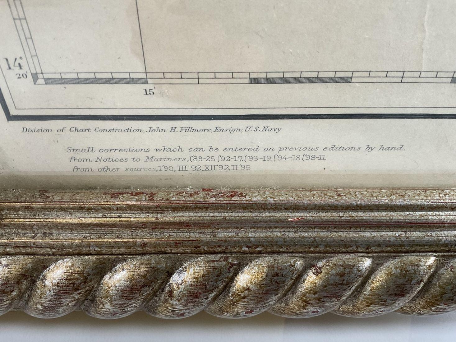
Maritime chart of the island of Martinique, This is an 1887 map produced by the Department of the Navy, bureau of navigation showing soundings in fathoms. Heights in feet, Also, showing buoys and lights.
42 H x 36 W
18lbs