


Lannan Gallery
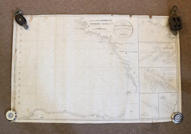
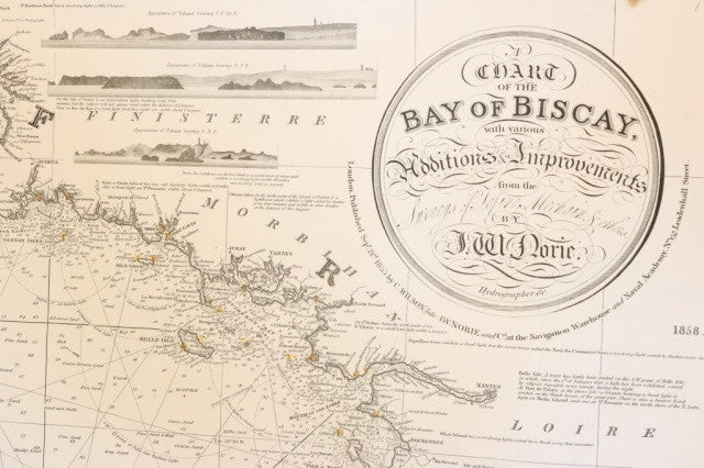
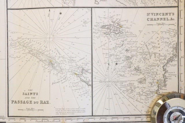
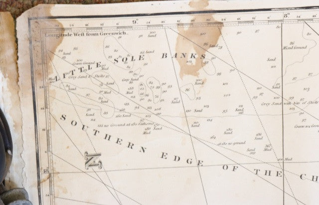
Original J.W. Norie Chart of Bay of Biscay, c.1855
Original J.W. Norie Chart of Bay of Biscay, c.1855
Regular price
$ 1,200.00 USD
Regular price
Sale price
$ 1,200.00 USD
Unit price
per
Couldn't load pickup availability
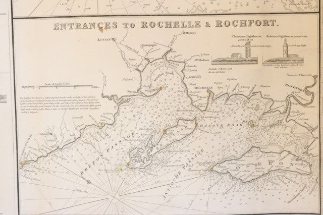
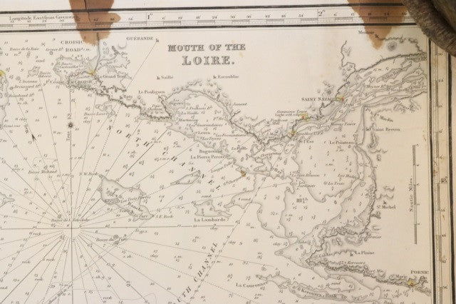
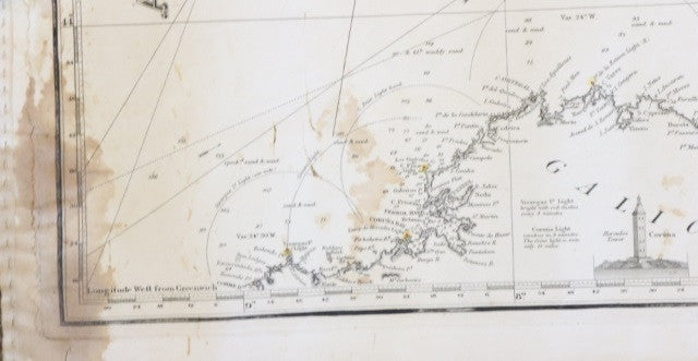
Original J.W. Norie chart of the Bay of Biscay, circa 1855. Chart shows the Atlantic Ocean and coast of France. Details about coast include Bordeaux, Rochfort, Nantes, Bay of Brest, Brest, and many more. Chart shows mouth of the Loire, entrance to Rochelle & Rochfort, River Gironde, Saint and the Passage du Raz, and Saint Vincent Channel. Water depth, bays, rivers and other details included on the chart. With stains. Unframed, matted to blue paper.